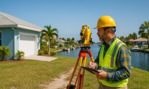
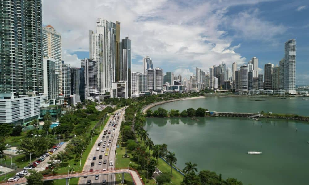
Living near the water in Panama City, FL offers beautiful views—but also brings real risks like flooding and strict elevation rules. A land surveyor plays a key role in helping homeowners and builders navigate these challenges. Whether you’re starting a new project or rebuilding after a storm, their expertise ensures your plans are safe, legal, and cost-effective.
Panama City’s Flood Risk: Why Elevation Matters
Panama City is surrounded by beaches, bays, and low-lying areas. This makes it vulnerable to:
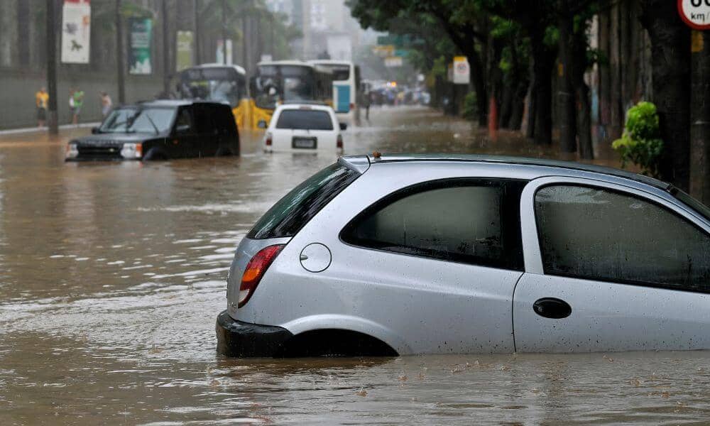
- Storm surge during hurricanes
- Rising sea levels over time
- Flooding from heavy rain or poor drainage
What FEMA Flood Zones Mean for You
FEMA creates maps that show which areas are likely to flood. These maps divide land into zones like:
- Zone AE – High risk, with base flood elevation listed
- Zone VE – High risk near coasts, includes wave impact
- Zone X – Low to moderate flood risk
If your property is in a flood zone:
- You may need special construction rules
- You’ll likely pay more for flood insurance
- Building without the right info can cause major delays
Why You Need an Elevation Certificate
An Elevation Certificate (EC) proves how high your home or land sits compared to flood levels.
Surveyors create ECs that show:
- Base Flood Elevation (BFE) – The safe height to build above
- Lowest floor elevation – Your home’s actual height
- Other details used by FEMA and insurance companies
Planning Ahead: Avoiding Costly Mistakes
Before any construction begins, a surveyor checks:
- If your land is in a high-risk flood area
- If the planned structure meets elevation codes
- That you’re following NFIP (National Flood Insurance Program) rules
After the Storm: Surveyors Help You Rebuild Right
Hurricanes and floods are common in Panama City. After damage:
- Surveyors check elevation levels for insurance claims
- They help document pre-existing conditions
- They support safe rebuilding that meets new codes
Permits Made Easier with Survey Data
To build in Panama City, you need permits and those often require:
- Elevation and flood zone info from a certified surveyor
- Proof that your project meets city and FEMA guidelines
- Correct data to avoid project delays or fines
Smart Property Buying and Long-Term Protection
Thinking about buying or building near the coast? A land surveyor can help by:
- Checking flood zone risks before you commit
- Showing how future flood maps or sea levels may affect the land
- Helping you avoid land that will cost more to insure or build on
Frequently Asked Questions
1. What is a FEMA Flood Zone?
It’s a map area where FEMA says flooding is likely. It helps determine building rules and insurance rates.
2. What does an Elevation Certificate do?
It shows how high your property is above the flood line. It’s used for insurance and building plans.
3. Do I need a survey before getting permits in Panama City?
Yes. Most building permits need elevation and flood zone info from a certified surveyor.
4. Can a survey help lower flood insurance costs?
Yes. If your home is higher than FEMA’s base level, your insurance may cost less.
5. Should I get a survey before buying land near the water?
Absolutely. A survey helps you understand flood risk, buildability, and future costs.