How Much Does a Land Survey Cost, And What Affects the Price?

In Panama City, Florida, a land survey cost starts at around $300 for a simple boundary survey. More complex surveys, like ALTA or topographic surveys, can reach $1,500 to $5,000 or more. The price depends on the property size, terrain type, and the kind of survey you need. How Much Does a Land Survey Cost? […]
How Roadwork Affects a Construction Surveyor on Site
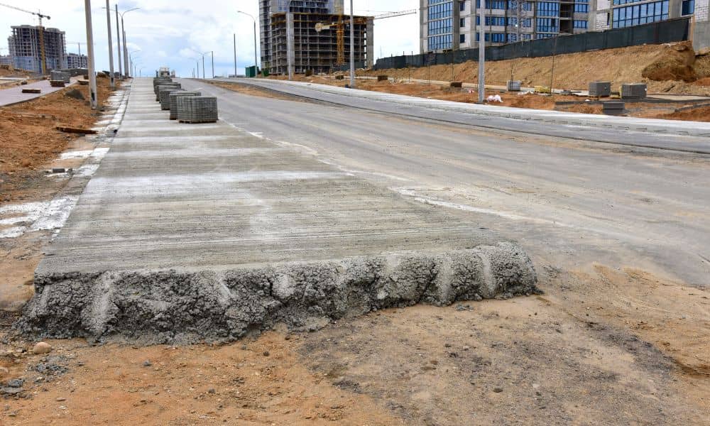
Roadwork in Fort Lauderdale is constant. You see cones, lane shifts, and new sidewalks almost every week. That activity does more than slow traffic. It changes how nearby properties connect to the road. If you plan to build, those changes can throw off your layout fast. A construction surveyor checks the site as it exists […]
How to Find Property Lines When Markers Are Missing

Finding property lines on an older property isn’t always straightforward, especially when the markers are gone. It can leave you guessing where your land actually ends. Here’s how to figure it out and when it makes sense to call a surveyor. How Do You Find Property Lines When Markers Are Missing? You can find property […]