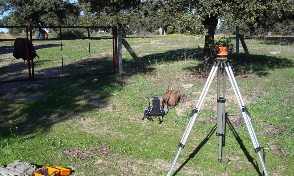
Before building a fence, patio, shed, or making any outdoor upgrades, it’s essential to know your exact property lines. Hiring a local land surveyor in Jacksonville helps ensure you build safely, legally, and without unexpected issues.
Skipping this step can lead to costly mistakes, legal disputes, or project delays. Here’s how a surveyor can help protect your investment and guide your improvements the right way..
Property Improvements Without Surprises
Making improvements without a survey is risky.
What could go wrong:
- You might build on your neighbor’s land
- You could hit buried pipes or cables
- Your new structure may break city rules
Common projects that need a survey:
- Fencing
- Garages or sheds
- Decks, patios, and driveways
- Room additions or guest houses
A property survey gives you a clear plan and avoids future problems.
Boundary Certainty: No Disputes, No Guesswork
A land surveyor provides boundary and easement surveys to confirm exact property lines and identify shared-use areas that could lead to disputes.
Why it matters:
- Avoids fights with neighbors over fences or trees
- Helps you follow HOA rules and city regulations
- Clears up common myths about where your land starts
Easements, Setbacks, and Hidden Restrictions
Not all of your land is free to build on. Some areas may be off-limits due to city rules or utility access.
How surveyors help:
- Identify easements (like utility paths or drainage zones)
- Check setbacks (how far from the property line you must build)
- Make sure you don’t block public access or underground services
Permitting with Precision: Smoother City Approvals
Jacksonville requires permits for most property upgrades. A survey makes the process easier.
Benefits of hiring a surveyor:
- Provides accurate site plans for your permit application
- Avoids denials or delays due to incorrect info
- Speeds up the process by giving the city what they need
Terrain, Drainage, and Environmental Awareness
Surveyors look beyond flat ground they understand how land behaves.
What they check:
- Slopes or soft ground that affect building safety
- Drainage patterns that may lead to water damage
- Protected areas like tree zones or wetlands
Financial and Legal Protection for Homeowners
A survey is more than a map, it’s legal proof of what belongs to you.
Why it’s valuable:
- Protects you in disputes or lawsuits
- Can improve your property appraisal and resale value
- Avoids future expenses like tearing down structures
Long-Term Planning: Ready for What’s Next
Even small improvements can affect your future plans.
How surveyors help long-term:
- Ensure your upgrades support resale or new projects
- Avoid title problems when selling
- Create a master layout for future property expansion
Frequently Asked Questions
1. What is a land surveyor’s role before I build something?
They check your property lines, find any restrictions, and create a plan so you can build legally.
2. Do I need a survey just to add a fence or deck?
Yes, especially if it’s near a property line. It helps avoid disputes or fines.
3. How much does a land survey in Jacksonville FL cost?
Costs vary, but it’s usually a few hundred dollars—much cheaper than fixing mistakes later.
4. Can a survey help me get permits faster?
Absolutely. Surveys give the city the accurate info they need to approve your project quickly.
5. What if I don’t get a survey before building?
You risk building in the wrong place, getting fined, or even having to remove what you built.


