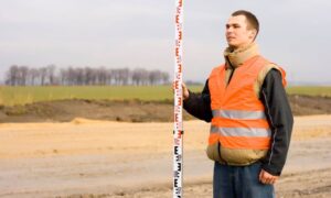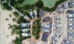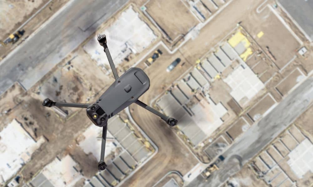
Drone land surveying has already changed the way projects get built in Tampa. From construction staking to floodplain mapping, surveyors use drones every day to capture fast and accurate data. Now, the FAA has introduced a new proposal—Part 108—that could reshape how surveyors fly drones, how close they can get to infrastructure, and even which equipment they can use.
If you’re a property owner, developer, or contractor, this is not just “aviation news.” It could affect the timeline, cost, and safety of your next project.
What Is FAA Part 108?
The FAA has proposed Part 108 as a way to allow Beyond Visual Line of Sight (BVLOS) operations. Up to now, drone land surveying has been limited under Part 107 rules. That meant pilots had to keep their drones within sight, or apply for special waivers that took months to process.
Part 108 introduces a framework where surveyors could fly further and longer without line-of-sight restrictions. It lays out new standards for:
- How far drones can fly from the pilot.
- The type of equipment required, like detect-and-avoid systems.
- When visual observers are needed.
- Pilot training and certification updates.
This is the first serious step toward nationwide BVLOS approval. And it matters because it’s a city where surveyors often need to map long corridors, wide subdivisions, and infrastructure near restricted airspace.
Why It Matters
Surveying comes with unique challenges. Large portions of the city are close to Tampa International Airport, MacDill Air Force Base, and Port Tampa Bay. These areas already require strict airspace clearance through LAANC (Low Altitude Authorization and Notification Capability).
With Part 108, surveyors may be able to:
- Cover larger areas without needing multiple flights.
- Use drones more efficiently for construction surveys and topographic mapping.
- Deliver data faster to engineers, contractors, and property owners.
But there’s also a caution. Florida is rolling out tougher penalties for unlawful drone operations starting October 1. That means surveyors who don’t comply could face fines or even project shutdowns. For clients, it underscores the importance of hiring a licensed land surveyor who understands both FAA rules and law.
The DJI Debate and Equipment Questions
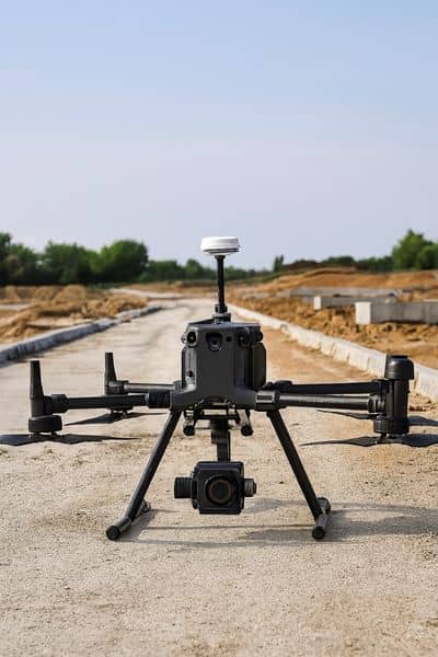
One of the biggest online discussions since Part 108 was announced is about DJI drones. DJI currently makes many of the most popular survey drones. Yet, with the new standards, people are asking: Will DJI drones still qualify under Part 108?
For surveyors, this isn’t just industry gossip. If fleets need to change, it could affect scheduling, pricing, and even availability of services. Switching to different hardware or upgrading sensors is not cheap, but it may be necessary to stay compliant.
From a client’s point of view, the key takeaway is this: You want your surveyor using FAA-compliant equipment. It protects you from legal issues, and it ensures that the data collected on your property can stand up in court or in permitting reviews.
Local Compliance Challenges
Even if Part 108 opens new doors, surveyors will still face local restrictions. Some of the biggest ones include:
- Airspace approvals: Getting LAANC clearance for flights near Tampa International and MacDill.
- FRIA vs. non-FRIA zones: Certain areas may be designated for approved drone operations, while others are off-limits.
- Critical infrastructure rules: Bridges, ports, and water plants often have extra layers of restrictions.
For homeowners or developers, this means not every property can be surveyed by drone in the same way. A surveyor has to know these boundaries to keep projects legal and moving.
What Clients Should Expect from Their Surveyor
When you hire a surveyor today, you should expect more than just technical skill. With Part 108 on the horizon, the best surveyors will also:
- Stay updated on FAA rules and how they impact local jobs.
- Be transparent about the type of equipment they’re using.
- Explain how new regulations might change the timeline or cost of a survey.
- Show how drone data ties into permitting, flood elevation certificates, and site design.
In other words, your surveyor should act as both a mapping expert and a compliance guide. That’s especially important, where flood zones, permitting delays, and urban airspace can already complicate a project.
What You Can Do Right Now
If you’re planning a new build, subdivision, or property purchase, here are steps you can take today:
- Ask your surveyor if they are “Part 108 ready.” This signals whether they are tracking FAA updates and adjusting their operations.
- Confirm their drone fleet is compliant. Outdated or uncertified drones can cause delays.
- Make sure your surveyor is licensed. Only licensed land surveyors can provide legally valid property surveys and elevation certificates.
Taking these steps now can save you from project hiccups later.
The Bigger Picture
FAA Part 108 is still in the proposal stage, with a short window for public comments. That means rules could shift before final adoption. However, one thing is clear: drone land surveying is moving toward greater range, stricter compliance, and more responsibility for surveyors.
For property owners and developers, this is both an opportunity and a challenge. On one hand, projects could move faster thanks to wider-area drone flights. On the other hand, compliance requirements will be sharper, and surveyors who fall behind risk putting their clients in tough situations.
Conclusion
Drone land surveying is already essential for growth. From highways to subdivisions to flood studies, drones help capture data that keeps projects on schedule and in compliance. FAA Part 108 is set to push this forward, but it also raises the bar for responsibility.
If you’re starting a project, don’t just ask for a survey. Ask if your surveyor understands the new FAA rules, has compliant equipment, and can deliver data that regulators and contractors will accept. That’s the difference between a smooth project and costly delays.
Part 108 could change the way drone land surveying is done. The best move you can make is to work with a surveyor who is ready to adapt.

