If you live in Panama City, you already know flood insurance can feel like a never-ending bill. What makes it worse is when only a corner of your lot is in a FEMA flood zone, yet your lender still demands full flood coverage. Homeowners across Bay County are asking, “How can a small strip of my yard cost me thousands every year?” The answer often begins with a boundary line survey, a tool that gives you the precision to fight back.
The “Clipped Lot” Problem
Picture this: your home sits on high ground, safe and dry even during heavy Gulf storms. But FEMA’s updated maps show that a tiny piece of your backyard touches an AE flood zone. Because of that, your entire property is flagged, and your bank requires flood insurance before approving or continuing your mortgage.
This situation, sometimes called the “clipped lot” problem, is more common than you think. In 2023 and 2024, FEMA updated many panels in Bay County. Homeowners who never thought about flood zones suddenly found themselves paying for coverage they may not even need.
Why Lenders Don’t Budge
It feels unfair, but banks play by strict rules. If any portion of a parcel touches a Special Flood Hazard Area (SFHA), they classify the entire property as at risk. They cannot take your word—or even a map printout—at face value. They need certified proof that your home is above the base flood elevation. Without that, insurance remains mandatory.
How a Boundary Line Survey Changes the Story
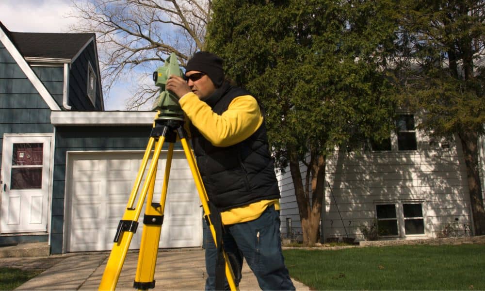
This is where a boundary line survey makes a difference. A licensed land surveyor carefully measures your property lines, structures, and elevations using professional equipment. The result is a clear map of your land that also provides property line verification, so you know exactly where your home stands in relation to the flood zone.
Here’s why that matters:
- It proves whether the mapped flood line truly cuts into your house or just grazes your yard.
- It documents your property in a way FEMA and lenders recognize as accurate.
- It sets the foundation for the next step: an Elevation Certificate.
Think of the survey as the “receipts” you need when challenging the one-size-fits-all approach of FEMA maps.
The Power of Pairing With an Elevation Certificate

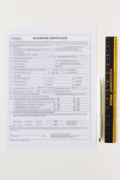
A boundary line survey alone shows your legal lot. But when you add an Elevation Certificate, you now have evidence of how high your home actually sits.
The Elevation Certificate records:
- The lowest adjacent grade around your house
- The finished floor elevation
- Heights of HVAC units, garages, or basements
If these numbers are higher than FEMA’s base flood elevation for your area, you have a strong case to request removal from the flood zone.
From Survey to FEMA: The Partial LOMA
Armed with both documents, many homeowners file for a Letter of Map Amendment, or LOMA. In a clipped-lot case, you may pursue a partial LOMA. This allows FEMA to remove your house—or a specific portion of your property—from the high-risk zone while leaving the clipped section as is.
Once FEMA issues a Determination Document in your favor, lenders accept it. That often means the end of mandatory flood insurance.
Why This Matters Now in Panama City
Panama City has seen repeated remapping since Hurricane Michael. Entire neighborhoods that never paid flood premiums before are suddenly classified as higher risk. Yet elevation varies widely here. A house on one side of the street may sit feet above BFE, while the opposite side falls just below it.
For homeowners caught in the middle, relying only on FEMA’s broad maps can cost thousands. A boundary line survey paired with elevation data cuts through the generalizations and shows your property’s real risk.
A Homeowner’s Story
Take a local family near Callaway. Their backyard dipped slightly into AE, but their raised home sat well above the base flood elevation. Their bank required $2,800 a year in flood insurance. After ordering a boundary line survey and Elevation Certificate, they filed for a partial LOMA. Within three months, FEMA approved it. Their lender dropped the insurance requirement, saving them thousands every year.
Their case shows what’s possible when you challenge the clipped-lot problem with the right tools.
Common Misconceptions
Many homeowners assume:
- “If FEMA maps say I’m in, there’s nothing I can do.” False—maps are broad, not precise.
- “Flood insurance is based on the whole lot.” In reality, FEMA only cares about the house itself.
- “A neighbor’s old survey will work for me.” Not true. Every survey is property-specific and must be up to date.
The reality is that lenders follow rules, but FEMA gives homeowners a clear process to correct mistakes. You just need certified evidence to start.
Taking the First Step
If you think your property has been unfairly clipped into a flood zone, don’t wait until your renewal bill shocks you. The process begins with calling a licensed surveyor. In Bay County, turnaround times can be quick, often just a week or two. A good surveying team will walk you through each step and provide comprehensive property surveying support, so you’re not left figuring out the details on your own.
Ask your surveyor about:
- A boundary line survey to map your lot
- An Elevation Certificate to capture critical height data
- Guidance on whether a partial LOMA is realistic for your case
Final Thoughts
Flood insurance is important when it matches real risk. But if your home is safe and only a corner of your lot is tagged, you deserve the chance to prove it. A boundary line survey is more than a drawing—it’s your path to clarity, fairness, and potential savings.
Don’t let a clipped map dictate your future. Take control, challenge the designation, and keep more money in your pocket while protecting the true value of your home.


