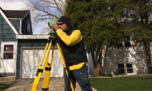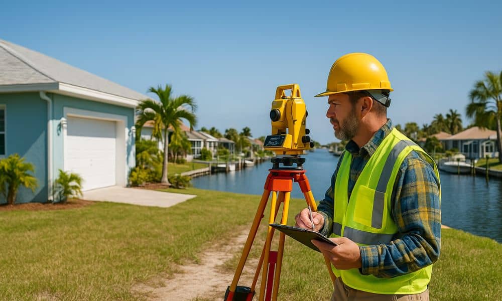
A property line survey —also known as a boundary survey—is a professional assessment that identifies the exact legal boundaries of a piece of land. Conducted by a licensed land surveyor, it establishes where your property ends and where your neighbor’s begins.
Unlike general site plans or topographic surveys, a property line survey focuses specifically on:
- The physical corners and borders of your lot
- Any encroachments or overlaps
- Legal easements and right-of-ways
It’s essential for avoiding disputes, complying with local laws, and confidently making property decisions.
Why Property Disputes Are So Common in Florida
Florida’s real estate landscape presents some unique challenges:
🏘️ Dense Suburban and Coastal Housing
Florida has many tightly packed subdivisions and planned communities. In places like Tampa, Orlando, and Miami, lots are often small and boundaries unclear.
🗺️ Old or Inaccurate Plats
In older cities like St. Augustine or Pensacola, historical land records might be vague or outdated, increasing the chance of boundary confusion.
🌴 Coastal Development and Erosion
In beach towns and flood zones, shifting land and FEMA re-mapping can complicate what was once a clear boundary line.
Common Legal Issues Caused by Unclear Property Lines
Let’s talk about what can go wrong when you don’t know exactly where your property starts or ends:
- Encroachments: A shed, fence, or even a tree planted on your neighbor’s land
- Fence & Driveway Disputes: Arguments over placement or shared use
- Unpermitted Structures: Additions or patios built without verifying legal boundaries
These problems don’t just create tension—they often lead to costly lawsuits or forced demolition.
How a Property Line Survey Provides Legal Clarity
Here’s where a survey becomes your shield:
📑 Legal Documentation
In Florida, a certified survey by a licensed professional can be submitted in court. It serves as objective evidence in disputes.
🤝 Supports Dispute Resolution
Many disagreements get resolved quickly once the survey shows who’s in the right—saving everyone legal fees and frustration.
When Florida Homeowners Should Get a Property Line Survey
Wondering if you need one? Here are the best times to schedule a survey:
- 🏠 Before buying or selling – Avoid delays in closing or title issues
- 🛠️ Before building – Especially fences, driveways, sheds, or pools
- 🧾 During inheritance or property division – Clarify what’s being passed on
What to Expect from the Survey Process
Hiring a surveyor isn’t complicated, but here’s a quick look at the typical steps:
- Initial research – Your surveyor reviews property deeds, plats, and county records
- Site visit – They measure and mark property lines using GPS and professional tools
- Report delivery – You receive a legal drawing of your property with all boundary details
⏱️ Timeline: Most residential surveys in Florida take 5–10 business days.
Cost of a Property Line Survey in Florida
💵 Average Price in 2025:
- Standard lot: $450 – $900
- Larger or irregular lots: $1,000 – $2,000+
- Rush or complex jobs: May exceed $2,500
🔍 Cost Factors:
- Property size and shape
- Terrain (flat vs wooded vs coastal)
- Accessibility
- Record availability
What Happens If You Skip the Survey?
Many property owners skip surveys to save money—only to pay much more later.
⚠️ Here’s what can happen:
- You accidentally build on someone else’s land
- A neighbor sues over a shared fence
- You get fined or forced to remove a structure
- Permits are denied due to unclear boundary limits
How to Choose the Right Surveyor
Make sure your surveyor is:
- Licensed by the Florida Board of Professional Surveyors and Mappers
- Experienced in local zoning laws and community layouts
- Able to clearly explain their report and findings
- Willing to place visible markers on your property
Ask for examples of past work and confirm they offer property line surveys specifically—not just topographic or construction staking.
Property Line Survey vs Boundary Survey: Are They the Same?
Yes—and no.
These terms are often used interchangeably. A boundary survey is the technical name, while property line survey is more common among homeowners.
Both determine:
- Where your property begins and ends
- If there are encroachments
- How land can legally be used
Local Considerations for Coastal or Flood-Prone Areas
Florida’s coastline presents special challenges:
- FEMA flood zones may affect where you can build
- Erosion and shifting soil can change your usable land over time
- Elevation certificates may also be required in certain areas
This makes land surveying in Florida a critical step in confirming legal boundaries and avoiding encroachments, especially for waterfront homeowners navigating changing landscapes.
Real Florida Cases of Survey-Related Legal Disputes
🏡 Naples Backyard Pool Lawsuit
A homeowner was forced to demolish part of a new pool built 2 feet into a neighbor’s property—costing over $30,000.
🏘️ Orlando Fence Rebuild
A homeowner in a planned community had to rebuild a perimeter fence after it was found to be on the HOA’s green space due to an inaccurate plat.
Both cases could have been avoided with a current, certified property line survey.
Survey Reports and What They Include
You’ll receive a detailed report showing:
- Exact property dimensions
- Marked boundary lines
- Encroachments or easements
- Notes about utility lines or zoning restrictions
Learn how to read this document—your surveyor should walk you through it.
Role of a Survey in Property Improvements & Permits
Want to add a new room, fence, pool, or driveway? You’ll likely need a survey to:
- Submit for permits
- Prove compliance with setback requirements
- Avoid code violations and permit delays
Conclusion: Protect Your Property, Avoid Legal Headaches
In Florida, property lines aren’t just lines—they’re legal boundaries that affect everything from resale value to your ability to enjoy your land. A property line survey is the most effective way to avoid disputes, save money, and build with confidence.
Whether you’re buying, building, or just being proactive, a survey gives you peace of mind you can measure.
FAQs
1. Are property line surveys legally required in Florida?
Not always, but they’re strongly recommended before building or selling.
2. How long is a survey valid?
Generally 5–10 years, but update if zoning changes or new construction occurs.
3. Who pays for the survey in a sale?
Usually the buyer, but it’s negotiable.
4. Can I use a neighbor’s old survey?
No. Each survey is property-specific and must be up to date.
5. Is a property line survey enough for permits?
Often yes, but check with your local city or county.
6. What if my neighbor disputes the results?
Share the survey report and consult a real estate attorney if needed.
