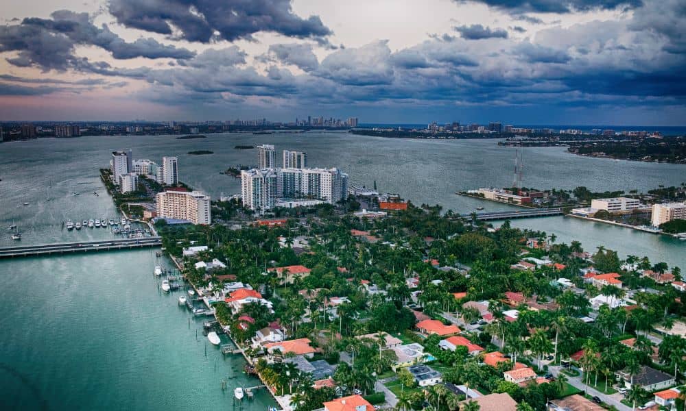
Miami’s real estate market moves fast, and a due diligence survey should be your first step before buying land. From prime waterfront lots to small city parcels, opportunities are everywhere. However, Miami has unique environmental challenges, strict zoning rules, and high demand for development. As a result, what looks perfect at first might hide serious problems.
A property could have restrictions, costly repairs, or environmental hazards you won’t see during a quick visit. For this reason, getting a due diligence survey is not just a suggestion—it’s a must before you buy.
What Is a Due Diligence Survey?
A due diligence survey is a detailed investigation into a property’s legal boundaries, permitted uses, environmental risks, and physical features. It’s more than confirming where the property lines fall—it’s about uncovering anything that could affect your plans for the land.
For example, the survey might reveal that your “dream” lot is in a flood-prone area, sits near protected wetlands, or has underground utility lines running through it. By identifying these issues early, you can decide whether to move forward, renegotiate, or walk away before losing time and money.
Why a Due Diligence Survey Is Non-Negotiable in Miami

Buying land here is exciting, but the city’s rules and risks make skipping a survey a gamble. Zoning laws can vary from one neighborhood to the next, setting limits on everything from building height to exterior finishes. Without a survey, you might only discover these restrictions when your plans are denied.
Flooding is another concern, especially in coastal areas and low-lying neighborhoods. A survey will confirm the property’s elevation and flag whether you’ll need special construction measures for safety. And then there are the hidden issues—like a neighbor’s fence on your land, a shared driveway you didn’t know about, or easements that limit where you can build.
Skipping a due diligence survey is like signing a contract without reading the fine print—it’s possible you’ll be fine, but the risks aren’t worth it.
Miami’s Unique Challenges for Land Buyers
Living in a tropical paradise comes with trade-offs. Miami’s location makes it vulnerable to hurricanes, which means stricter building codes for wind resistance and flood protection. The soil, often sandy, can shift and affect the stability of foundations. Environmental protections are also a big factor—wetlands, mangroves, and other sensitive areas may have strict building limits that aren’t obvious when you first see the property.
And in such a fast-paced market, buyers sometimes feel pressured to close quickly. But rushing without proper checks can lead to costly delays, expensive modifications, or even stalled projects.
Stories That Prove the Value of a Survey
- Flood Zone Surprise – A couple bought a bayfront lot, then learned it was high-risk for flooding. They had to raise the house and add costly drainage.
- Access Issues – A developer bought land without legal vehicle access. They spent a year negotiating with neighbors.
- Environmental Setbacks – An investor bought near a wetland and needed special permits, delaying the project.
Clearly, a proper survey could have revealed all these problems before closing.
What’s Included in a Due Diligence Survey
A complete due diligence survey often includes:
- Boundary survey – Confirms lot size and boundaries
- Zoning review – Checks current and potential zoning classifications
- Title and easement research – Identifies shared access, rights-of-way, and utility lines
- Flood zone and elevation check – Determines FEMA flood zone status and site elevation
- Environmental screening – Finds contamination or protected habitats
- Topographic survey – Maps slopes, drainage, and elevation changes
With this information in hand, you’ll know exactly what’s possible on your property—and just as importantly, what isn’t.
The Due Diligence Survey Process for Miami Land Buyers
It starts with hiring a licensed surveyor who understands Miami’s zoning laws and environmental requirements. They’ll visit the site, take measurements, and review public records like title documents and zoning maps.
Once the survey is complete, you’ll receive a detailed report—often with maps, notes, and photographs—that clearly outlines any risks or restrictions. A good surveyor will also walk you through the findings so you understand what they mean for your plans. Depending on the property, the process can take anywhere from a week to a month.
Tips for Making the Most of It
To get the best results from your due diligence survey:
- Allow enough time before closing so nothing is rushed
- Read the report thoroughly and ask your surveyor to explain anything unclear
- Team up with a local real estate attorney to interpret legal details
Use the findings strategically to negotiate price, request repairs, or adjust plans
Final Takeaway
In Miami, skipping a due diligence survey is like buying a house without ever walking through the door—you’re taking a huge risk. This one step can save you from legal headaches, environmental surprises, and costly construction changes. Order your due diligence survey early so you know exactly what you’re buying. In a market as competitive as Miami’s, that knowledge—and peace of mind—is worth every cent.


