What Parcel Maps Don’t Show: A Cadastral Surveyor Explains

Recent flood warnings across South Florida caught a lot of attention. In Pembroke Pines, many homeowners started checking their property lines online. It felt like the right thing to do. After all, when water moves through a neighborhood, people naturally want to understand their land better. So, they opened parcel maps, zoomed in, and looked […]
Topographic Survey: What Flooding Reveals About Your Land
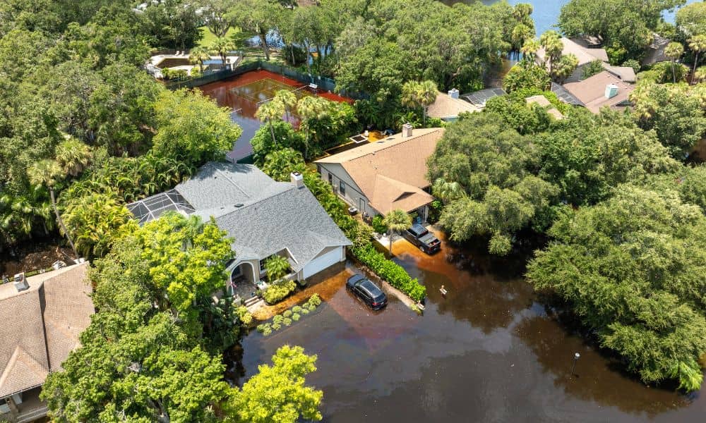
Heavy rain hit Miami-Dade again, and it didn’t take long for problems to show. Streets filled up, yards stayed wet, and some homes saw water move closer than expected. Yet just a few houses away, others stayed dry. So what caused the difference? At first glance, most lots in Hialeah look flat. However, looks can […]
Why LiDAR Mapping Looks Accurate but Has Elevation Issues
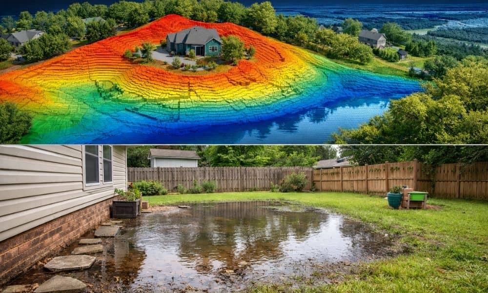
You get your lidar mapping results, and everything looks sharp. The lines are clean. The details are clear. At first, it feels like you have the perfect picture of your land—just like you would expect when reviewing your property survey results. However, weeks later, something feels off. Water starts pooling in the wrong spot. A […]