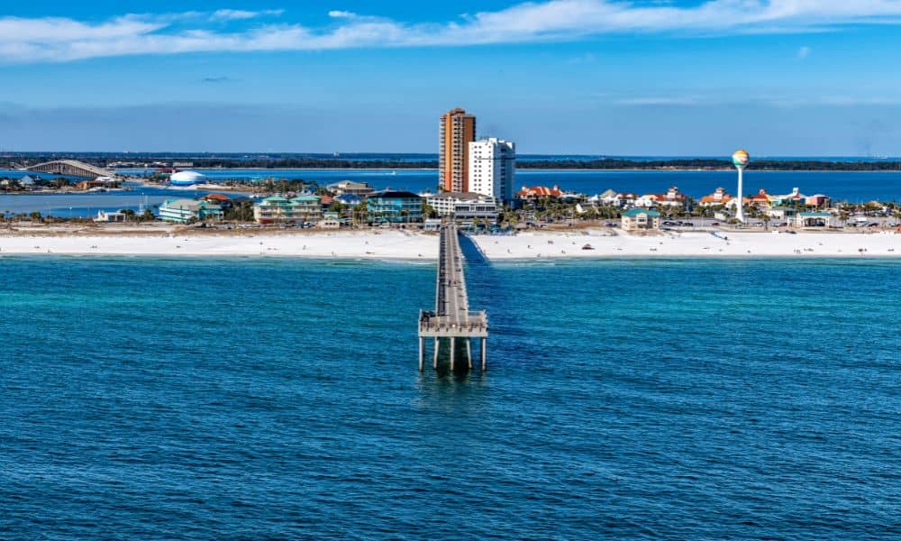
When people think about coastal erosion, they picture crashing waves, washed-out dunes, and worried lifeguards waving red flags. That’s exactly what Pensacola Beach saw this past Labor Day weekend. Rough surf and rip currents made headlines as crowds still filled the sand despite warnings. But here’s the part many homeowners overlook: erosion doesn’t just affect the shoreline—it can change the way your land looks, feels, and even where your boundaries sit. That’s why a property survey often becomes more important after events like this.
What Coastal Erosion Really Does to Your Property
It only takes a few days of pounding waves to shift sand dunes and undercut seawalls. When water pulls sand away, it can expose tree roots, move fencing, and even alter drainage patterns. If your home or lot sits near the beach, these changes might make your property lines less obvious than they were before.
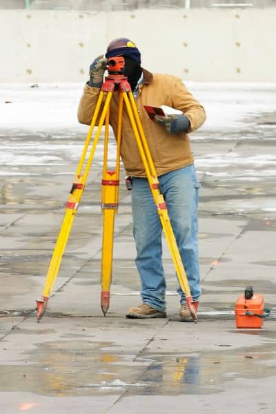
Think of your boundary as something fixed on paper but not always visible on the ground. After erosion, that line may look different, leading to confusion with neighbors or city inspectors. That’s where a surveyor steps in. By measuring and marking, they make sure the official boundary matches what’s physically in place.
When a Property Survey Becomes Necessary
You may wonder, “Do I need a new survey every time the tide runs high?” Not exactly. But after a strong weekend like Labor Day, here are situations where calling a surveyor makes sense:
- Repairing fences or seawalls. If part of your fence is washed away or a seawall cracked, you’ll want to know exactly where the property line is before rebuilding.
- Starting new work. Decks, patios, or retaining walls planned near the waterline can trigger permit checks. A survey proves your structure stays within legal limits.
- Resolving disputes. Maybe a neighbor moved their walkway closer to your side after erosion. Without a clear survey, small issues can quickly grow into legal headaches.
These aren’t rare cases. Along Florida’s Gulf Coast, erosion is a repeating story every season. Getting a property survey isn’t about adding one more document to your files—it’s about protecting your investment.
Property Surveys vs. Elevation Certificates
Another question often comes up after stormy weekends: Do you need a property survey, an elevation certificate, or both? The answer depends on your situation.
- Property survey: Focuses on boundaries, structures, and improvements. It tells you where your land begins and ends.
- Elevation certificate: Records the height of your home in relation to the floodplain. Insurers use it to calculate flood insurance rates.
If you live near the shoreline, you may eventually need both. The property survey confirms where you can legally build, while the elevation certificate helps prove your home meets FEMA flood standards. Together, they provide a clear picture of risk and compliance.
The Local Angle: Pensacola’s Labor Day Example
Let’s circle back to Labor Day. Crowds enjoyed the beach, but behind the fun were reports of dozens of rip-current rescues. That same water that pulled swimmers offshore also carved away sand. Even if the changes seemed small, the dunes likely shifted.
For homeowners, that could mean:
- Walkovers or stairs now closer to the water.
- Pavers or decks left hanging at the edge.
- Fence posts leaning as sand washed out underneath.
Each of these issues is a reminder that land is dynamic. And when land moves, so does the practical need for a survey. In a place like Pensacola, where property value is tied to location, the last thing you want is uncertainty about your lot.
Signs It’s Time to Call a Surveyor
How do you know if this weekend’s erosion just made a mess or actually changed something important? Watch for these signs:
- Your fence, deck, or walkway no longer lines up with the lot line you remember.
- Neighbors argue about where one yard ends and another begins. A property line survey quickly clears up where boundaries truly fall.
- A city permit reviewer asks for updated documentation.
- You’re planning to sell, refinance, or insure your home, and the lender wants clarity.
In each case, a licensed surveyor provides proof that saves money and avoids conflict.
Long-Term Risks of Skipping a Survey

Some homeowners roll the dice and rebuild without checking first. At best, it works out fine. At worst, it means tearing down what you just built. Skipping a survey can create:
- Boundary disputes. If your rebuild crosses into a neighbor’s lot, you may face lawsuits or forced removal.
- Permit issues. The city can fine you or block your project if it doesn’t match the official line.
- Insurance problems. Future claims may be denied if the work wasn’t documented properly.
That’s why choosing reliable property survey solutions is a much smaller expense compared to the risk of losing thousands on construction mistakes.
How to Move Forward in Pensacola
If you’re a local homeowner, here’s a practical way to respond after events like Labor Day:
- Walk your property and take photos of visible changes.
- Check Pensacola’s online flood maps through the Forerunner portal.
- If your lot touches the beach or sits near the Coastal Construction Control Line, call a surveyor before repairing anything.
- Ask your surveyor whether an elevation certificate also makes sense for your property.
It’s not about doing everything at once. It’s about knowing when erosion has blurred the line enough that only a professional can restore clarity.
Final Thoughts
Pensacola’s Labor Day weekend made the news for rip currents, but the real story for homeowners may be unfolding quietly in their backyards. Coastal erosion doesn’t always look dramatic. Sometimes, it just shifts a fence post or moves a dune a few feet. Yet those small changes carry big consequences for property value and legal boundaries.
So, do you need a property survey after coastal erosion? If you plan to repair, rebuild, or sell in the near future, the answer is almost always yes. And if you want peace of mind before the next storm rolls through, getting one sooner rather than later is the safest choice.


