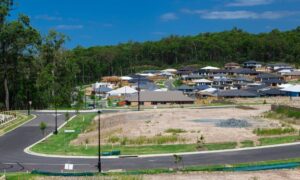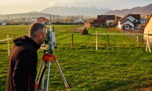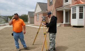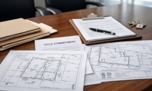
As Fort Myers grows, big projects like roads, drainage systems, and utilities need accurate information. This is where ALTA Survey comes in. These surveys were once mainly used during property sales, but now they’re also helping with large public and private construction projects. They give planners, engineers, and builders the data they need to work with land safely and follow important rules.
The Growing Use of ALTA Surveys in Public and Private Projects
Big projects in Fort Myers often deal with shared property spaces, utility lines, and environmental concerns. Regular surveys don’t always include enough detail. ALTA Surveys go further. They show legal and physical features—like driveways, access roads, and easements. This helps government agencies and private companies work together from the start. As more projects grow in size, ALTA Surveys are being used more often.
Why ALTA Survey Matters in Early Planning
Before any project begins, it’s important to confirm who owns the land and what can be done with it. An ALTA Survey helps verify:
- Property boundaries
- Easements (legal rights to use part of the land)
- Access points and usage limits
Getting this information early helps teams avoid delays, changes in the design, or permit problems. In Fort Myers, where new projects often overlap with old land records, having clear data matters a lot.
Connecting Survey Data with Engineering and Design Tools
Survey data must work with planning software like CAD, GIS, or BIM. ALTA Surveys are made to fit these systems. The details in the survey help engineers:
- Understand slopes and land grading
- Plan layouts around easements and setbacks
- Design roads and drainage systems more accurately
This helps everyone stay on the same page and cuts down on mistakes or misunderstandings.
Planning Utility Routes and Managing Right-of-Way
Infrastructure work often involves power lines, water pipes, or underground systems. ALTA Surveys show both visible and hidden features, which helps plan utility routes. They also clearly map right-of-way paths. This helps teams avoid legal trouble or expensive changes later—especially when different groups use the same land.
Helping with Permits and Regulatory Approvals
City planners need documents that match both the land and the rules. ALTA Surveys do this well. They help meet:
- Zoning requirements
- Stormwater and drainage codes
- Environmental rules
Because ALTA Surveys are clear and standardized, they help speed up permit approvals and reduce how often plans need to be changed.
Avoiding Delays with Better Team Coordination
A lack of clear site data can cause major delays in construction. ALTA Surveys help prevent this by giving everyone the same reliable information. This makes it easier for:
- City departments
- Private builders
- Engineers and designers
When everyone has the same map and data, decisions get made faster and projects move more smoothly.
Why ALTA Survey Data Matters Even After a Project Ends
Even after construction is done, the survey still has value. It becomes part of the permanent record and helps with future work, like:
- Checking drainage systems
- Resurfacing roads
- Planning utility repairs or upgrades
In a fast-growing place like Fort Myers, good planning starts with having accurate land data from the beginning.
Frequently Asked Questions
1. What makes ALTA Surveys helpful for planning infrastructure?
They show both legal property lines and physical features, which helps with complex projects like roads and utilities.
2. Are they required for government projects in Fort Myers?
Not always, but they are commonly used because they meet both legal and technical standards.
3. How do ALTA Surveys help with utility layout?
They show easements, access paths, and anything that might get in the way—helping engineers plan around them.
4. Can ALTA Survey data be used in digital design software?
Yes. The data works well with tools like CAD, GIS, and others used in engineering.5. Do ALTA Surveys help with permits?
Yes. They provide detailed, organized data that often speeds up approvals and avoids the need for revisions.

