How Statewide Mapping Shifts Affect Drone Land Surveying
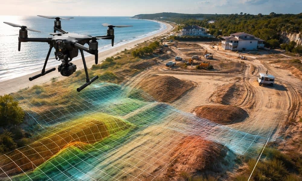
Florida continues to invest in statewide LiDAR and shared mapping systems. At first glance, that sounds like great news. Better public maps should mean better planning, right? Yes — but only to a point. If you own land, plan to build, or want to develop property, you need to understand what this shift really means. […]
Why Ethical Backlash Is Changing How LiDAR Mapping Is Used
LiDAR mapping has become a trusted way to understand land. It helps professionals see details that are hard to spot from the ground. Over the years, it has supported planning, design, and decision-making across many industries. Because of this, many people assumed LiDAR data was always safe to use as long as it was accurate. […]
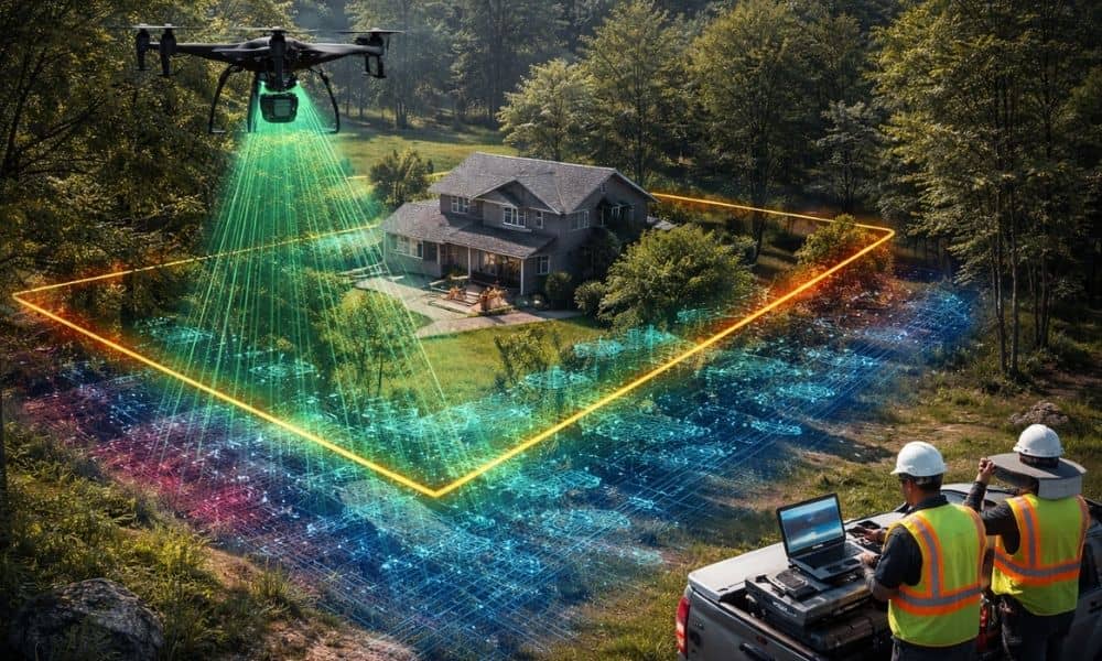
How Drone Surveying Is Changing U.S. Construction

Drone surveying is growing fast, and it’s no longer something only tech-forward companies use. All over the world, cities are using drones to map land, update records, and plan smarter. A recent example came from Panchkula, India, where the local government used drones to survey the entire city and modernize every parcel. This might feel […]