LiDAR Mapping: How Coastal Mapping Is Changing Standards
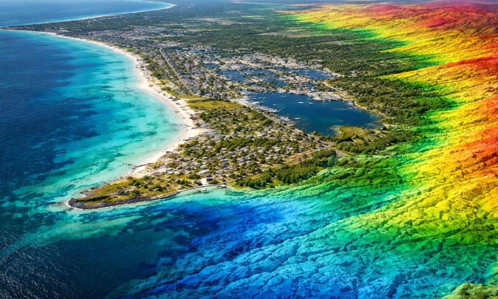
Florida is paying more attention to its coastline. Flooding, growth, and older roads and utilities are pushing the state to improve how it maps land near the shore. Because of this, state agencies are updating coastal elevation data using better tools. One clear result is the growing use of lidar mapping Pensacola FL for local […]
Why It’s Hard to Find Property Lines and What Actually Works
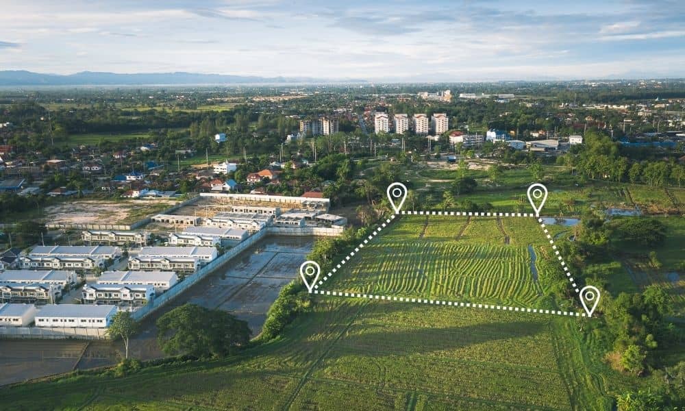
If you’ve ever tried to find property lines, you already know how frustrating the process can feel. What starts as a simple question often turns into hours of searching, comparing maps, and second-guessing what you see. Many homeowners expect a clear answer. Instead, they find conflicting information, unclear boundaries, and growing stress. So why does […]
Topographic Surveys for Drainage Problems on Low-Lying Sites
If your property sits low, stays damp after rain, or drains slowly, topographic surveys can make a big difference. These surveys show how the ground rises and falls across a site. More importantly, they explain how water moves. Within the first steps of planning, this knowledge helps owners avoid drainage problems that often appear too […]