How Drone Surveying Is Changing U.S. Construction

Drone surveying is growing fast, and it’s no longer something only tech-forward companies use. All over the world, cities are using drones to map land, update records, and plan smarter. A recent example came from Panchkula, India, where the local government used drones to survey the entire city and modernize every parcel. This might feel […]
Could a Flood Elevation Survey Prevent Future Regret?
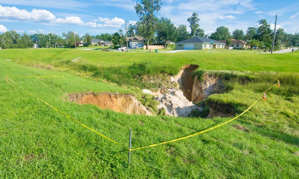
When the sinkhole footage from Lakeland spread online, many homebuyers started asking deeper questions about land safety. Some wondered if their future homes could face the same terrifying surprise. Because of this, more people are now looking into getting a flood elevation survey before closing on a property. They want more than a basic inspection. […]
Stop Insurance Hikes With Your Flood Elevation Certificate
If you live in Pensacola, you’ve probably heard neighbors complain about sudden insurance increases. Some saw rates jump without warning, while others learned their home was moved into a new flood zone. These surprises often come from one simple issue: homeowners don’t use their flood elevation certificate to check what insurance companies assume about their […]