Due Diligence Survey Checklist Lenders Review

If you are buying commercial property, a due diligence survey can make or break your loan approval. Many deals do not fall apart because of price or financing terms. Instead, they stall when the lender reviews the survey and finds gaps, conflicts, or outdated information. Because of that, understanding what lenders expect today can save […]
Detention Pond Design: Why Coastal Projects Are Different
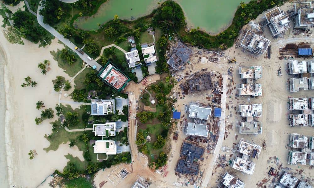
If you work on land development, you may have noticed more talk about flooding, drainage, and coastal projects lately. With beach renourishment planned and coastal infrastructure under stress, detention pond design now plays a bigger role than many people expect. Detention ponds exist everywhere. However, designing them for coastal Florida is very different from designing […]
Why Zoning Rumors Spike ALTA Land Title Survey Demand

Miami changes fast. One new rule, one city meeting, or even one rumor can shift the whole market. Over the past few weeks, talk about upcoming zoning updates has spread through developer groups, real estate chats, and local forums. Because of this, buyers, investors, and even lenders have rushed to order an ALTA land title […]