Why Ethical Backlash Is Changing How LiDAR Mapping Is Used
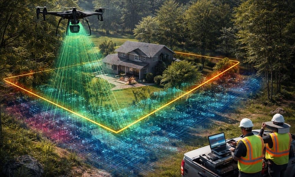
LiDAR mapping has become a trusted way to understand land. It helps professionals see details that are hard to spot from the ground. Over the years, it has supported planning, design, and decision-making across many industries. Because of this, many people assumed LiDAR data was always safe to use as long as it was accurate. […]
How 2026 ALTA Land Survey Changes Delay Property Closings
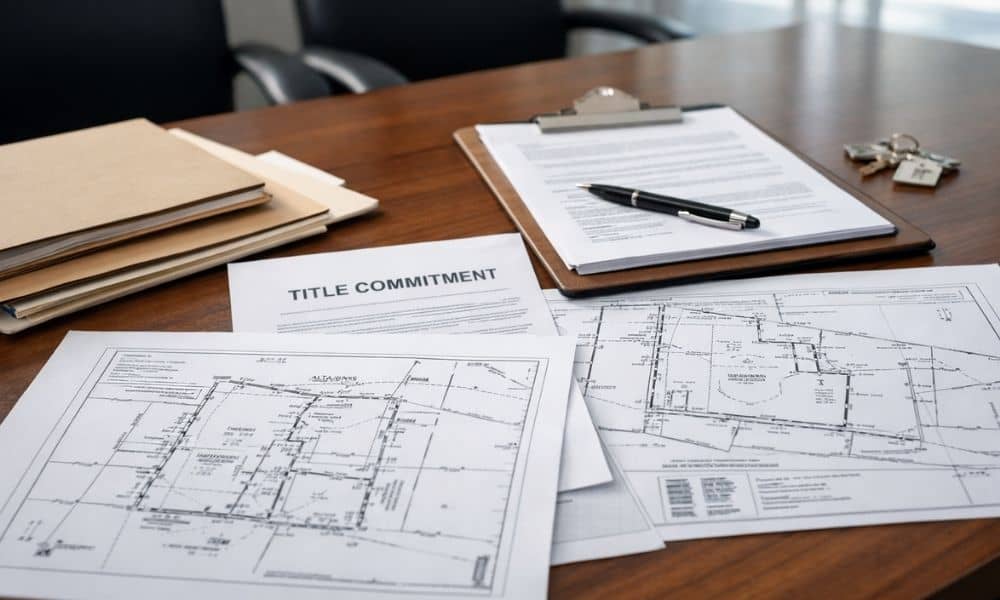
If you are buying, selling, or refinancing property, you may hear more people talking about the 2026 ALTA land survey standards. At first glance, this may sound like a technical update meant only for surveyors. However, in reality, these changes can affect how fast your deal closes, how much it costs, and how smooth the […]
Property Boundary Survey: Protecting Your Land Rights

When a beach access dispute surfaced in St. Petersburg, it caught attention fast. The debate wasn’t really about sand or signs. Instead, it exposed a bigger issue many property owners overlook: when land gets used openly by the public, people start assuming who owns it. Over time, those assumptions harden into expectations. And once expectations […]