ALTA Survey Update 2026: What Closings Must Change
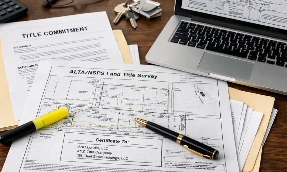
Earlier this week, on February 23, 2026, the national rules that guide every alta survey officially changed. If you are buying, selling, or refinancing commercial property, this update matters right now. At first, this may sound like technical news meant only for surveyors. However, the impact reaches straight into active closing files. The land has […]
Why a Land Surveyor Never Relies on GPS Alone
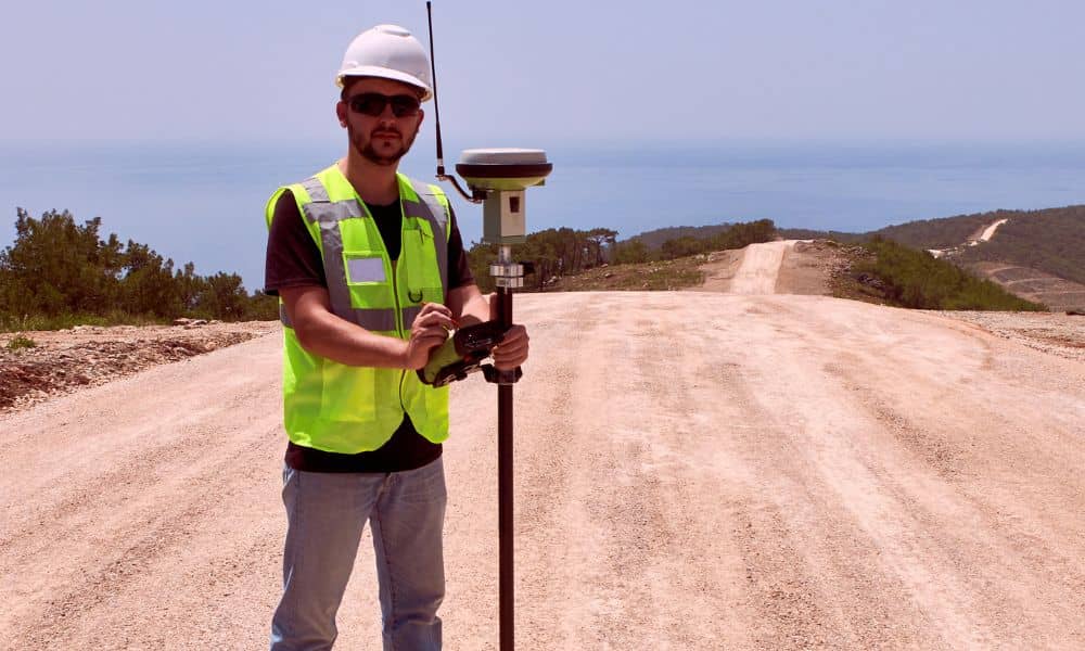
Recently, reports warned about temporary GPS signal problems in parts of the Southeast. Most people only saw small glitches on their phones. However, professionals paid attention. Even small GPS shifts can cause big problems when exact measurements matter. That’s why a land surveyor does not rely on GPS alone. Many people think surveyors just use […]
Flood Risk Is Rising — Here’s Why Land Surveying Matters
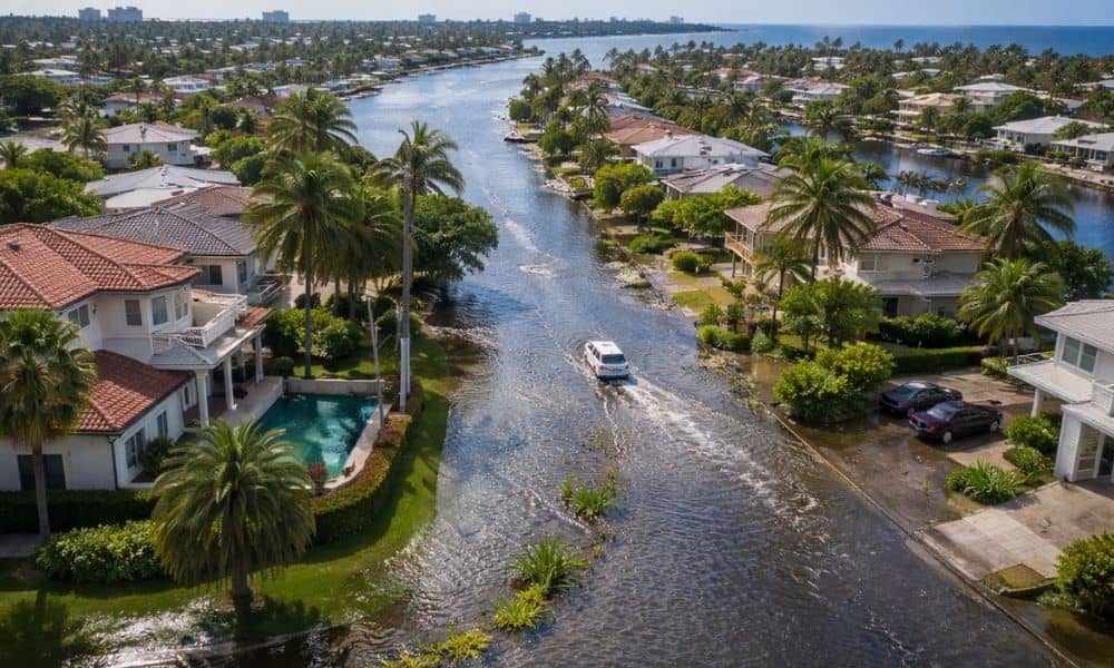
Flooding is back in the headlines across South Florida. Streets in Fort Lauderdale fill during heavy rain. King tides push water into neighborhoods that never used to flood. At the same time, insurance costs continue to rise. Because of this, homeowners and buyers are asking a simple question: Is my property really safe? The truth […]