FAA Part 108: What It Means for Drone Land Surveying

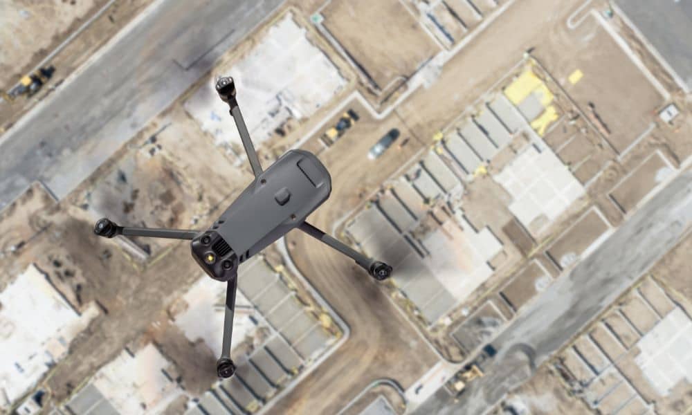
Drone land surveying has already changed the way projects get built in Tampa. From construction staking to floodplain mapping, surveyors use drones every day to capture fast and accurate data. Now, the FAA has introduced a new proposal—Part 108—that could reshape how surveyors fly drones, how close they can get to infrastructure, and even which […]