Why Ethical Backlash Is Changing How LiDAR Mapping Is Used
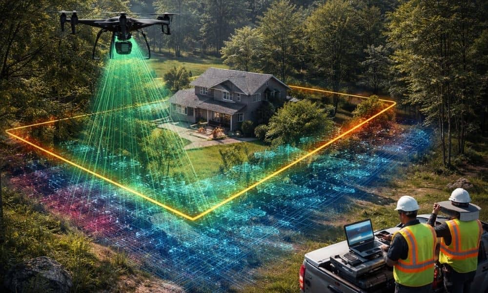
LiDAR mapping has become a trusted way to understand land. It helps professionals see details that are hard to spot from the ground. Over the years, it has supported planning, design, and decision-making across many industries. Because of this, many people assumed LiDAR data was always safe to use as long as it was accurate. […]