How Statewide Mapping Shifts Affect Drone Land Surveying
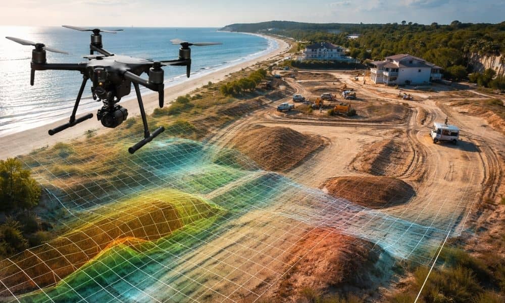
Florida continues to invest in statewide LiDAR and shared mapping systems. At first glance, that sounds like great news. Better public maps should mean better planning, right? Yes — but only to a point. If you own land, plan to build, or want to develop property, you need to understand what this shift really means. […]