Why Permits Get Delayed Without a Topographic Survey
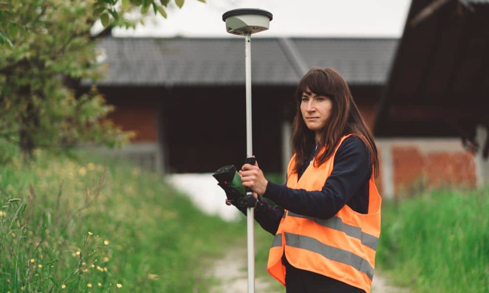
If you’re planning to build or improve your property, you probably expect some delays. That’s normal. However, many homeowners run into a frustrating problem they didn’t see coming. Their plans get sent back by the city, even though everything looks ready. In many cases, the issue isn’t the design. Instead, the real problem is missing […]
How Statewide Mapping Shifts Affect Drone Land Surveying
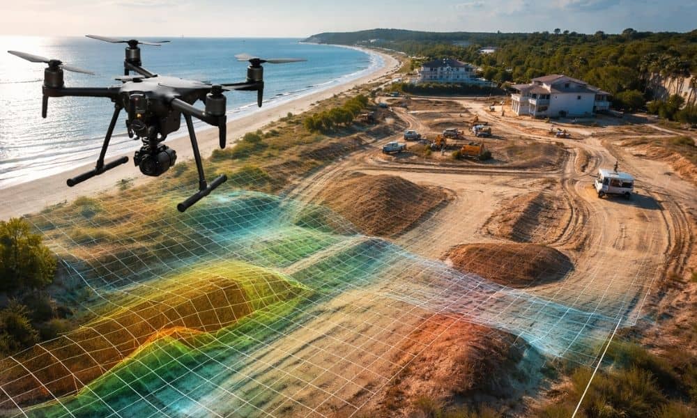
Florida continues to invest in statewide LiDAR and shared mapping systems. At first glance, that sounds like great news. Better public maps should mean better planning, right? Yes — but only to a point. If you own land, plan to build, or want to develop property, you need to understand what this shift really means. […]
Flood Risk Is Rising — Here’s Why Land Surveying Matters
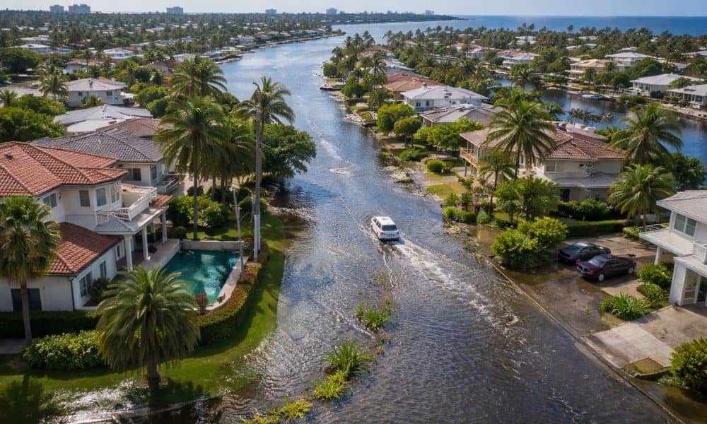
Flooding is back in the headlines across South Florida. Streets in Fort Lauderdale fill during heavy rain. King tides push water into neighborhoods that never used to flood. At the same time, insurance costs continue to rise. Because of this, homeowners and buyers are asking a simple question: Is my property really safe? The truth […]