
How a Professional Land Surveyor Helps Clarify Shared Access Routes
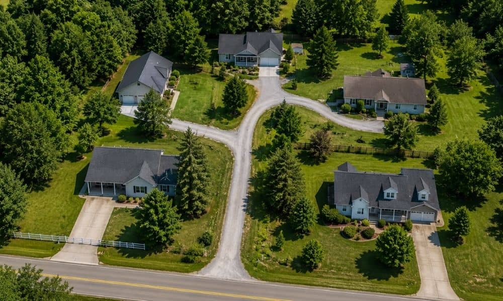
Two homes share one driveway. A narrow lane serves three back lots. A gravel road looks like it cuts across the neighbor’s land before it reaches yours. Setups like these are common, and they often work fine for years. Then someone plans a fence, lists the property for sale or starts a new build. That’s […]
What Happens Before a Licensed Surveyor Arrives on Your Property
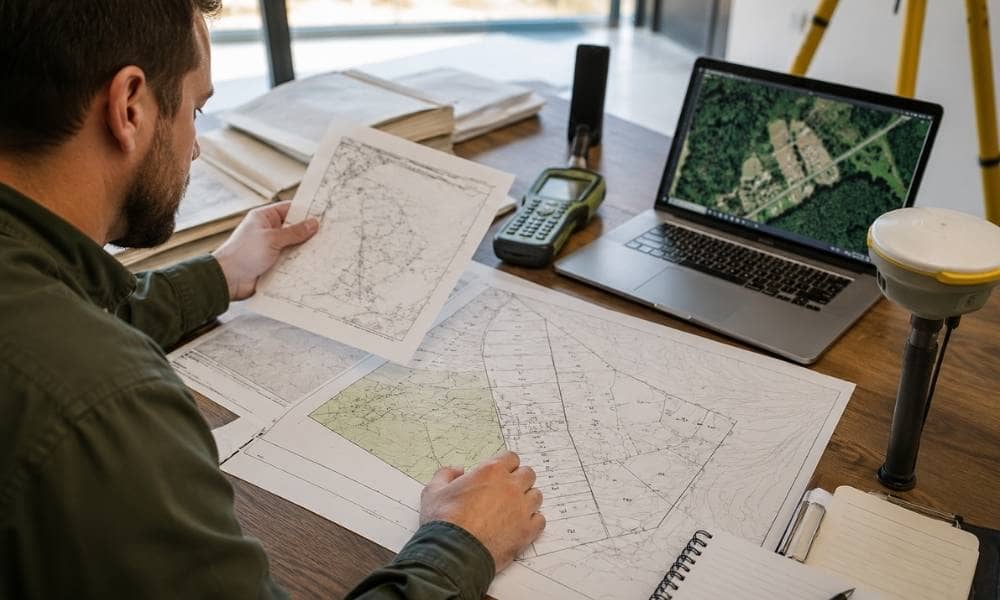
A land survey doesn’t start with a truck pulling into your driveway. It starts days, sometimes weeks, before anyone sets foot on the property. A licensed surveyor spends real time on research and planning first. That early work shapes how smooth, accurate, and quick the actual site visit will be. If you’re getting ready to […]
Why It’s Hard to Find Property Lines and What Actually Works

If you’ve ever tried to find property lines, you already know how frustrating the process can feel. What starts as a simple question often turns into hours of searching, comparing maps, and second-guessing what you see. Many homeowners expect a clear answer. Instead, they find conflicting information, unclear boundaries, and growing stress. So why does […]