Some Panama City properties near the water hold more than what the deed shows. A commercial lot or a waterfront site can sit next to land the state of Florida owns. That land under the water belongs to the public. If an owner wants to use it, they lease it from the state through a sovereignty submerged-land lease.
That lease creates a question for the title. The upland parcel, the part you actually own, is one thing. The leased area over state-owned bottom land is another. Each one shows up differently in the records. So an ALTA title survey for this kind of site has to work with both the title records and the lease papers.
An ALTA survey does not give you ownership of the submerged land. It can’t. The state keeps that. Florida’s Department of Environmental Protection treats the lease area and your upland interest as two separate things. The survey helps show how they line up. It does not change who owns what.
Reading the Upland Parcel and the Leased Area as Two Pieces
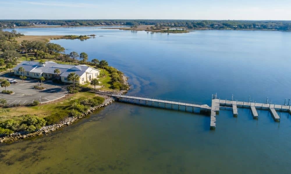
On a site like this, the surveyor looks at two pieces of ground. The upland parcel is the dry land you own. The leased area covers the state-owned bottom land you have permission to use. Docks, boat slips and similar structures often sit over that leased area.
The survey has to keep these two straight. Each one has its own legal description. The upland description comes from the deed and the title work. The leased area has its own boundary tied to the lease.
Florida’s rules for a sovereignty submerged-land lease application ask for details about the applicant’s upland parcel. Depending on the situation, they may also call for a survey or sketch of the area someone wants to lease. So the surveyor pulls the lease papers you provide and reads them against what’s on the ground.
The relationship between the two pieces matters too. The survey shows where the upland stops and the leased area starts. It marks which structures cross that line. The drawing should make that clear so no one has to guess.
Where Lease Boundaries Meet Survey Evidence
A normal boundary line on land often has physical markers. These are iron pins and concrete monuments you can find and touch. A submerged-land lease boundary is different. It sits over water.
Florida DEP’s survey rules say the lease or easement boundary does not have to be monumented in the water. That makes sense. You can’t easily set a permanent marker on a shifting bottom. But the boundary still has to tie to something solid. The rules call for it to connect to accessible upland monuments and show up on the survey drawing.
That tie is what makes the leased area findable later. The surveyor measures from known points on dry land out to the lease boundary. Coordinates and a written legal description back it up. Anyone reading the survey can trace the leased area from marks they can actually reach.
This is the part that sets a sovereignty submerged-land lease survey apart. The evidence lives on land, but it defines a boundary over water.
What the Title Team Needs to Reconcile Before Closing
Closing a deal like this takes a few people working from the same facts. The buyer, the seller, the lender, the title company and the surveyor all need to see the same picture. The survey helps line that up.
The title commitment lists the documents that affect the property. Some of those may point to the sovereignty submerged-land lease. The surveyor checks that the legal descriptions match. The upland description, the lease description and what the survey shows on the ground should agree.
A few things usually come up before the survey is final:
- Does the title commitment reference the correct lease documents?
- Do the legal descriptions for the upland and the leased area match the records?
- Which structures sit over the leased area?
- Are there open questions about the lease terms or its boundary?
Sorting these out early keeps surprises out of the closing.
An ALTA title survey does not take the place of a title commitment, legal review or the state’s lease process. It works alongside them. The ALTA/NSPS land title survey standards point to close coordination between the surveyor and the title people, mostly around title records and what the survey needs to show.
Why Waterfront Transactions Deserve a Closer Look
Not every waterfront lot sits over a sovereignty submerged-land lease. Many don’t. But the ones that do bring together several moving parts. You’ve got the upland property, the state-owned submerged land, the lease itself, possible easements and rules from state agencies.
When those parts overlap, careful records earn their keep. A survey that shows the upland parcel and the leased area together helps everyone read the site the same way. That matters more on the water than on a plain inland lot.
Florida DEP runs the process for sovereignty submerged-land leases. Its Division of State Lands is the contact point for lease-related survey questions. If a lease boundary or a legal description needs sorting, that’s where the answers come from.
Scope an ALTA title survey for one of these sites around the real title, lease, survey and transaction needs. Don’t order it like a plain, off-the-shelf survey. A waterfront property survey with a lease interest asks more of the drawing, so plan it to answer those questions from the start.