How LiDAR Mapping Is Being Used for Land and Infrastructure Projects
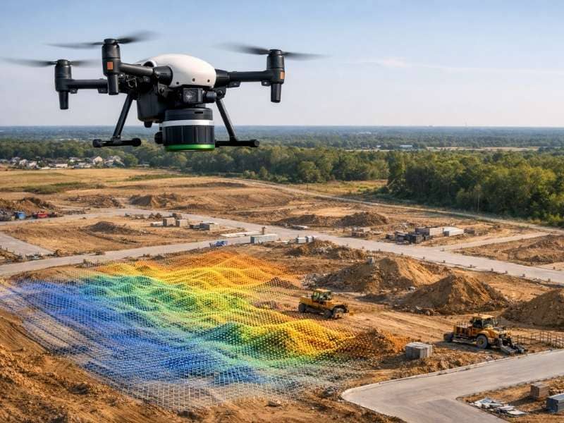
If you’ve driven past a construction site and noticed a drone flying overhead, it may have been collecting LiDAR data. LiDAR stands for Light Detection and Ranging. It is one of the most useful tools in land surveying today. And in a fast-growing city like Jacksonville, more people are using it every year. This article […]