Why LiDAR Mapping Looks Accurate but Has Elevation Issues
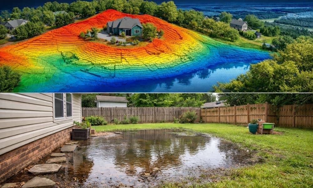
You get your lidar mapping results, and everything looks sharp. The lines are clean. The details are clear. At first, it feels like you have the perfect picture of your land—just like you would expect when reviewing your property survey results. However, weeks later, something feels off. Water starts pooling in the wrong spot. A […]