How Topographic Surveys Are Changing Land Projects
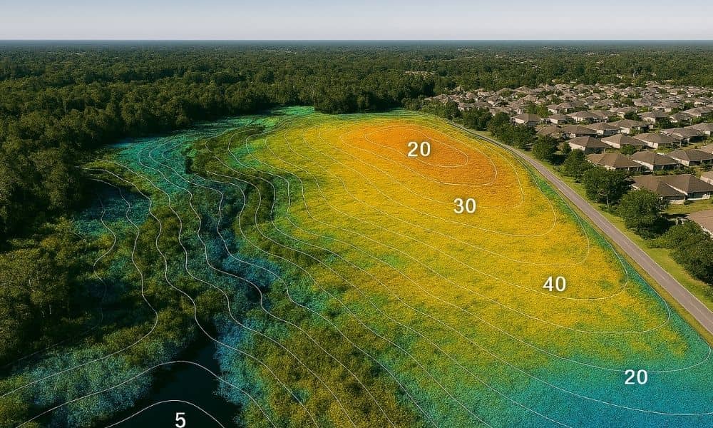
Topographic surveys help builders and engineers understand the shape and height of the land before they start work. Whether it’s for new homes, roads, or parks, knowing the land’s details is very important. Thanks to new technology like drones and special scanners, these surveys are faster and more accurate than ever. This means projects in […]