At first glance, your property in Panama City, may look perfectly level. However, looks can be deceiving. Even small changes in elevation—sometimes just a few inches—can affect how water drains, how stable a building will be, and whether your project meets local building codes. Because of this, starting with a topo survey can save you from unexpected problems later on.
What Is a Topo Survey?
A topo survey, short for topographic survey, is a detailed map that shows the true shape of your land. It includes both natural and man-made features, such as:
- Changes in elevation and slope
- Trees, ditches, and ponds
- Driveways, fences, and retaining walls
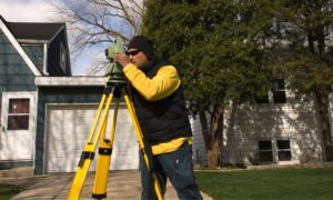
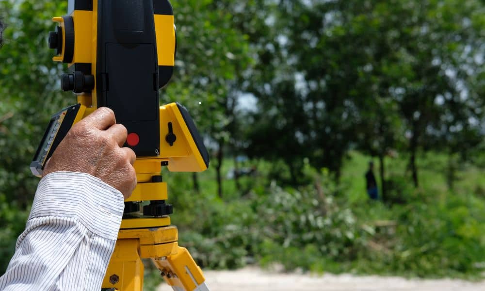
Unlike a simple boundary survey, a topo survey focuses on the land’s contours and elevations. To create it, surveyors in Panama City use specialized tools like GPS equipment and total stations. They then turn the data into a map with contour lines and points, which gives architects, engineers, and builders a clear picture of the site before any work begins.
Why Your Panama City Land Isn’t as Flat as You Think
Because Panama City sits on the coast, the land here is constantly changing. For example:
- Coastal Terrain: Properties near St. Andrews Bay or the Gulf often have subtle slopes that help water flow toward drains or the shoreline.
- Shifting Soil: Sandy soil can settle or shift over time, creating uneven areas you might not notice.
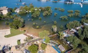
- Storm Impact: Heavy rains, hurricanes, and tropical storms can erode land, altering its slope in ways that aren’t visible at first glance.
As a result, what looks like a flat yard may actually have dips, rises, or drainage issues that could affect your project.
How a Topo Survey Helps in Panama City Projects
A topo survey can make the difference between a smooth project and costly delays. Here’s why:
- Accurate Design Data – Designers know exactly where high and low points are, so they can create stable foundations and proper grading.
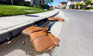
- Better Drainage & Flood Planning – In a hurricane-prone city, good drainage is essential. A property elevation survey can help identify where water will naturally flow, preventing pooling and flooding.
- Faster Permit Approval – Many projects in Bay County require topo survey data to meet zoning and building rules.
- Lower Costs – Finding slope problems early helps avoid expensive changes after construction begins.
When a Topographic Survey Is Especially Valuable
Certain projects in Panama City benefit even more from having a topographic survey done first:
- Waterfront Construction: Building near the bay or canals requires precise grading to prevent flooding.
- Home Additions: Adding a garage, patio, or driveway without checking slopes can cause runoff problems. Before starting your build, it’s smart to order a topo survey in Panama City to identify elevation changes and plan proper grading.
- Redevelopment Projects: Older neighborhoods often have grading changes from years of landscaping or past construction.
- Subdivision Development: Even neighboring lots can have different elevations, making detailed mapping important.
What to Expect When You Order a Topo Survey in Panama City
The process is straightforward:
- Site Visit: A licensed surveyor visits your property with measuring equipment.
- Data Collection: Elevation points, slopes, and features are recorded.
- Map Creation: The data is turned into a detailed topographic map with contour lines.
- Delivery: You receive the map to use for design, permitting, or construction planning.
Depending on your property size, project complexity, and the weather, most topo surveys in Panama City are completed within a few days to two weeks.
Final Takeaway: Don’t Guess—Get the Data
In Panama City, no property is perfectly flat. A topo survey in Panama City reveals the real shape of your land, helping you design smarter, prevent flooding issues, and meet local building requirements. By starting with accurate information from a licensed land surveyor in Florida, you can save time, reduce costs, and avoid the stress of unexpected problems during your project.
