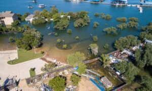
Florida has lots of wetlands, swamps, and marshes. These areas are important for the environment, but they can make land development tricky. That’s why LiDAR mapping has become an essential tool for identifying wetland boundaries quickly and accurately. Before anyone can build on land in Florida, they need to find out exactly where the wetlands are—a process known as wetland delineation.
Why Wetlands Are Hard to Map in Florida
Mapping wetlands in Florida isn’t easy. Here’s why:
- The land is very flat, so it’s hard to see where wetlands begin and end.
- Water levels change during the year, which makes it harder to measure.
- Trees and plants can block the view from above.
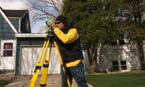
- Traditional mapping methods can take a long time and might miss details.
That’s why better tools are needed—and that’s where LiDAR comes in.
What Is LiDAR and How Does It Work?
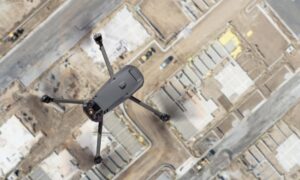
LiDAR stands for Light Detection and Ranging. It’s a tool that sends out laser beams from an airplane or drone. These beams bounce off the ground and come back with exact information about the land’s shape.
This data is used to make 3D maps that show small hills, dips, and flat spots—even under trees or in areas with water. This is super helpful when looking for wetlands in Florida.
How LiDAR Helps with Wetland Mapping
Using LiDAR can save time and give more accurate results. Here’s how:
- It shows tiny changes in the land’s height, which helps find wetland edges.
- It lets teams look at big areas quickly before visiting in person.
- It helps planners focus only on the areas they really need to check.
- It saves time and money on surveys and makes the process faster.
This level of precision makes wetland delineation far more reliable, especially when backed by high-resolution topographic and elevation data gathered from advanced mapping technologies.
Why It Matters for Permits
In Florida, you need special permits to build near wetlands. Government agencies want proof that you know where the wet areas are. This is where high-accuracy tools like LiDAR help by providing solid, detailed maps. These maps support elevation mapping for wetlands, giving regulators the data they need to verify project boundaries and protect sensitive ecosystems.
LiDAR helps by giving solid, detailed maps that are easier to check and approve. This makes it easier to:
- Plan your project
- Submit documents
- Avoid long delays
Having the right data the first time can make a big difference.
Final Thoughts
Florida’s wetlands are a big part of the state’s landscape—and they need to be treated with care. Whether you’re working on a construction project, doing an environmental study, or applying for a permit, knowing exactly where wetlands are is very important.
LiDAR mapping gives you a faster, clearer way to see the land and understand where wet zones begin and end. When used along with in-person checks, it helps make smarter, safer decisions for both people and the environment.
If your project involves Florida wetlands, using LiDAR is one of the best ways to stay accurate, save time, and stay on the right side of the law.
