How Topographic Surveys Are Changing Land Projects

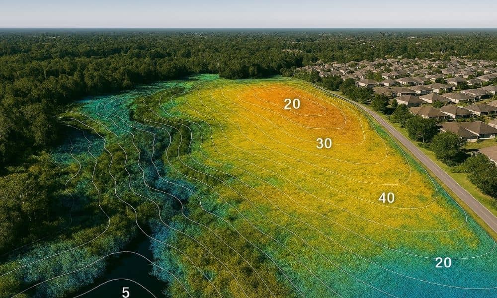
Aerial view of a Jacksonville neighborhood with topographic survey contour lines and elevation mapping using drone and LiDAR technology

Topographic surveys help builders and engineers understand the shape and height of the land before they start work. Whether it’s for new homes, roads, or parks, knowing the land’s details is very important. Thanks to new technology like drones and special scanners, these surveys are faster and more accurate than ever.

This means projects in Jacksonville, from neighborhoods to city roads, can move ahead safely and on time.

Why Do You Need a Topographic Survey in Jacksonville?

Because Jacksonville has wetlands, rivers, and flat urban areas, land surveying in Jacksonville helps identify slopes, drainage paths, and natural features before construction begins.

This helps builders:

  • Make sure water flows the right way
  • Plan where to dig and where to fill dirt
  • Avoid costly mistakes during construction
  • Get the needed permits from the city and county

Without a good topographic survey, it’s hard to build safely and on schedule.

How Were Topographic Surveys Done Before?

In the past, survey crews had to walk the land and take measurements by hand. They used special tools to find exact heights and distances.

But this took a lot of time—sometimes many days—and was hard work in Jacksonville’s hot weather. It was also tricky to measure in places like swamps or thick woods.

How New Technology Makes Topographic Surveys Better
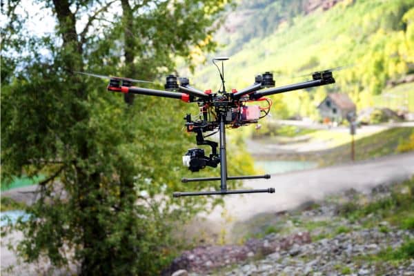
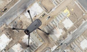
Drone equipped with camera used for modern topographic surveys in Jacksonville to capture accurate land elevation data.

Today, many surveyors use advanced drone surveying technology and scanners to collect data from the air. These tools can fly over big areas quickly and collect detailed information about the land’s shape.

Then, they use software to turn this data into maps with contour lines (which show hills and valleys) and 3D models.

This means surveys that used to take a week can now be done in 1 or 2 days—still very accurate and more detailed.

Real Examples from Jacksonville

  • North Jacksonville Housing Project:
    A 60-acre site was surveyed with drones and GPS. The whole survey was done in 2 days instead of 4. This helped builders start their work sooner and saved money.
  • Flood Study by the St. Johns River:
    Engineers used drone data to study how water flows and where flooding might happen. The survey was done without disturbing the riverbanks or wetlands.

How to Pick a Good Survey Company in Jacksonville

If you need a topographic survey, ask companies:

  • Do you use drones combined with ground measurements?
  • Can you meet city and state rules for surveys?
  • How fast can you deliver survey maps and data?
  • Are you licensed to work in Jacksonville?

The right company will give you quick, accurate surveys that meet your needs.

Where Topographic Surveys Help the Most in Jacksonville

Topographic surveys are especially important for:

  • New neighborhoods like Nocatee
  • Road and utility projects
  • Drainage and flood control planning
  • Parks and public spaces
  • Shoreline and wetland protection

As Jacksonville grows, good topographic surveys will be needed more and more.

Final Thoughts

Topographic surveys are now faster and better thanks to new tools like drones. If you are planning a project in Jacksonville or nearby, getting a detailed survey will save time, money, and headaches.

Don’t rely on old methods, ask for modern topographic surveys that give you clear, accurate data quickly.
author avatar
Surveyor

More Posts

Utility workers digging near a residential yard to show how a due diligence survey reveals easements and prevents surprises
boundary surveying
Surveyor

City Put a Sign on Your Yard? Get a Due Diligence Survey

If you’ve ever woken up to find a big sign or utility box planted on your front lawn, you’re not alone. A recent viral post on r/Jacksonville started with one frustrated homeowner saying, “The city put a giant sign on my yard without warning.” The comment section filled up fast—with

Read More »
Aerial view of a flooded residential neighborhood highlighting how a boundary survey can define property limits and prevent drainage problems
boundary surveying
Surveyor

Flood Prevention Starts With a Boundary Survey

When heavy rain hit Central Florida last week, few expected a calm neighborhood near Cocoa—just east of Orlando—to end up underwater. More than a hundred homes flooded overnight after a retention pond overflowed. Families scrambled to move their cars and belongings as muddy water crept through driveways and doorsteps. Officials

Read More »
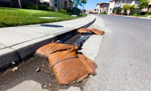
Stormwater design shown through a curb inlet with sandbags and surface runoff on a residential street during rain preparedness.
civil engineering
Surveyor

Is Your Stormwater Design Ready for the Next Big Rain?

Stormwater design might sound like a background detail until the sky opens up over Pensacola. This week, the National Weather Service in Mobile is warning about heavier rain, coastal flooding, and hazardous surf across Escambia County. The City of Pensacola has also been posting updates about ongoing drainage and stormwater

Read More »
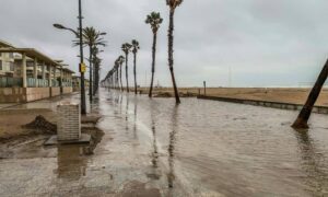
Flooded coastal streets showing rising water along a beachfront walkway.
flood damage
Surveyor

When Streets Flood: Check Your Elevation Certificate

Last week, South Florida feeds lit up with jaw-dropping videos: cars half-submerged on Alton Road, seawater bubbling through storm drains, and joggers wading where sidewalks used to be. The cause wasn’t a storm or a water-main break—it was another round of king tides, the high-tide surges that turn parts of

Read More »
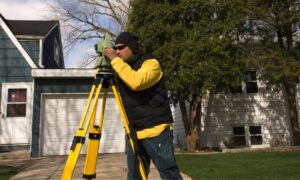
Licensed land surveyor using a total station for a boundary line survey in front of a residential home driveway
boundary surveying
Surveyor

Boundary Line Survey: Fix Flood Insurance on Clipped Lots

If you live in Panama City, you already know flood insurance can feel like a never-ending bill. What makes it worse is when only a corner of your lot is in a FEMA flood zone, yet your lender still demands full flood coverage. Homeowners across Bay County are asking, “How

Read More »
Drone land surveying over a construction site capturing aerial data for mapping and site planning
land surveying
Surveyor

FAA Part 108: What It Means for Drone Land Surveying

Drone land surveying has already changed the way projects get built in Tampa. From construction staking to floodplain mapping, surveyors use drones every day to capture fast and accurate data. Now, the FAA has introduced a new proposal—Part 108—that could reshape how surveyors fly drones, how close they can get

Read More »