If you’re a homeowner in Fort Myers, FL, you’ve likely heard the phrase “flood zone” tossed around—especially when buying a property near the coast. But what does that mean for your wallet? And how can something like a FEMA elevation certificate help you reduce flood insurance costs?
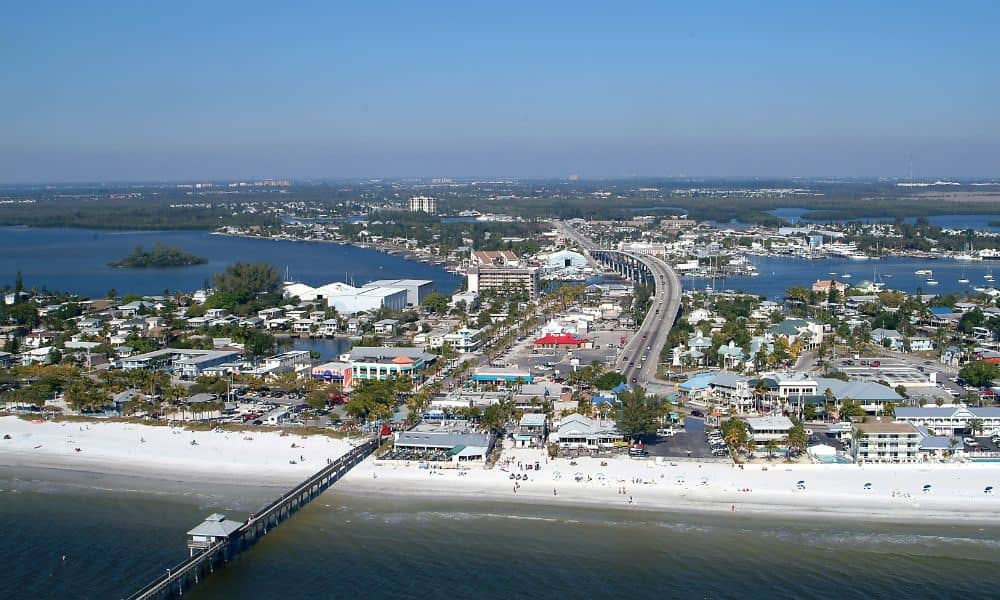
Let’s break down how this document works, why it’s essential in Fort Myers, and how it could potentially save you hundreds—or even thousands—each year.
What Is a FEMA Elevation Certificate?
A FEMA elevation certificate is an official document that shows a building’s elevation relative to the base flood elevation (BFE) for its location. In simple terms, it tells insurers and FEMA how high your property sits compared to the expected height of floodwaters.
- Issued by a licensed surveyor or engineer
- Required by the National Flood Insurance Program (NFIP)
- Used to calculate accurate flood insurance premiums
If your property is in a high-risk flood zone (known as a Special Flood Hazard Area, or SFHA), an elevation certificate is often required before you can purchase flood insurance through NFIP.
Why Homeowners Should Pay Attention
Fort Myers sits in Lee County, one of Florida’s most flood-prone regions. After major events like Hurricane Ian, FEMA flood maps were redrawn, reclassifying many areas into higher-risk zones.
Here’s why it matters:
- Properties previously not in flood zones may now require flood insurance.
- New flood zones mean new insurance requirements and possibly higher premiums.
- Homeowners who already carry flood insurance could see rate increases without updated elevation data.
By obtaining a FEMA elevation certificate in Fort Myers, you can provide accurate elevation data to your insurer, which may result in a lower premium—especially if your home sits higher than FEMA estimates.
How an Elevation Certificate Affects Flood Insurance Costs
Flood insurance premiums are based on several factors:
- Flood zone designation
- Building type and size
- Foundation type (e.g., slab, crawl space)
- Elevation of the lowest floor
One of the most important steps in reducing your premium is understanding flood zone designations, as these heavily influence what insurers assume about your property’s flood risk.
Without a certificate, insurers assume a worst-case scenario. But if your certificate shows your property is above the base flood elevation, your rate could drop significantly.
Example:
A Fort Myers homeowner without an elevation certificate might pay $2,000 per year in flood insurance. After submitting a certificate showing the home is two feet above BFE, that cost might drop to $800 annually.
When You Might Need a FEMA Elevation Certificate in Fort Myers
Not every property needs one—but if you fall into one of the following categories, it’s worth investigating:
- You’re buying or refinancing a home in a designated flood zone
- Your insurance premium recently increased
- Your area was recently reclassified under FEMA’s updated Flood Insurance Rate Maps (FIRMs)
- You’re building a new home and want to comply with local or federal floodplain regulations
Fort Myers city officials and surveyors often recommend updating your elevation certificate every 5–10 years, especially if nearby infrastructure or environmental changes have occurred.
How to Get an Elevation Certificate
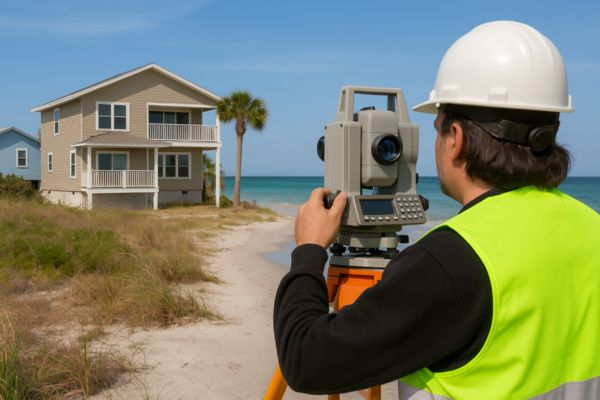
You’ll need to contact a licensed land surveyor in Fort Myers who is familiar with FEMA requirements. The process typically includes:
- Property visit and elevation measurement
- Completion of FEMA Form 086-0-33
- Submission to your insurer or local building official
Tip: If you’re buying a home, ask the seller if an existing elevation certificate is available—it could save you both time and money.
Where to Find More Information
- FEMA Elevation Certificate Guide (Official FEMA resource)
- Lee County Flood Protection Info
- National Flood Insurance Program (NFIP)
If you’re unsure of your flood zone, you can also check FEMA’s Flood Map Service Center using your property address.
Final Thoughts
Flood risk is part of life —but paying more than necessary for insurance doesn’t have to be. A FEMA elevation certificate can be your best tool to understand your property’s risk and potentially reduce your flood insurance rate.
Whether you’re a homeowner looking to lower costs or a developer preparing for a new project, understanding your property’s elevation is a smart move in flood-prone Florida.
