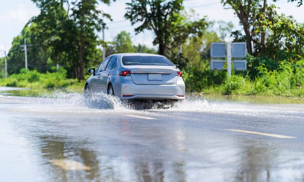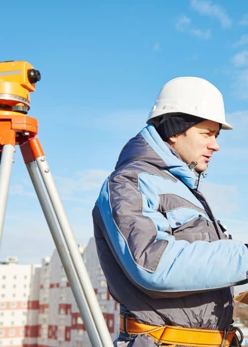
After Hurricane Idalia hit Jacksonville, many homeowners are seeing that Flood Elevation Surveys are more important than ever. These surveys show how high a home sits compared to the surrounding flood areas. In today’s conditions, this information can save time and money on insurance claims. Licensed surveyors are very busy, and homeowners are rushing to get their properties checked before the wait times get too long.
Why Homeowners Need Flood Elevation Surveys
Hurricane Idalia caused flooding, damaged yards, and shifted soil in many neighborhoods. Homeowners now realize that old or missing elevation surveys can delay insurance claims. Without a current survey, insurance companies might assume the worst-case scenario, which could lead to higher costs or slower payments.
Areas near the St. Johns River and the coast, like San Marco, Riverside, and Arlington, were hit the hardest. Even a small difference in elevation can change insurance coverage. Because of this, calls to surveyors are up, and appointments are filling fast.
What Flood Elevation Surveys Do

Flood elevation surveys are different from regular property surveys. They focus on measuring the height of a building compared to the local floodplain. Surveyors check the foundation, the lowest floor, and the land around the house. They then create a report that shows exactly how high the home is compared to flood levels.
Many surveyors now use drones to take aerial pictures and measurements. This is faster and safer, especially in areas with standing water. Using drones also helps surveyors map larger properties quickly and accurately. For homeowners, this means surveys get done faster and insurance claims can move along sooner.
How These Surveys Protect Homes
Flood elevation surveys help homeowners understand the actual risk to their property. After Hurricane Idalia, some people found their homes are higher than the floodplain, which could lower insurance costs. Others discovered their homes are lower, which shows they might need extra protection, like better drainage or flood barriers.
Surveys also help avoid disputes with neighbors. Storms can blur property lines, and flood elevation surveys confirm where one property ends and another begins. This is important for repairs, improvements, and keeping legal boundaries clear.
Insurance and Rules After Hurricane Idalia
Insurance companies now ask for updated flood elevation surveys before approving claims. Without current surveys, claims may take longer or only get partial payments. Local authorities in Jacksonville also recommend submitting updated surveys to stay compliant with floodplain rules. Even homes that were not badly damaged should update their surveys to prevent problems later.
Scheduling a survey quickly is very important. Surveyors are busy, and delays could mean waiting weeks. Homeowners should gather any old surveys, property plans, and photos of storm damage to help surveyors work faster.
Neighborhoods and Real-Time Mapping
Surveyors are not just measuring homes; they are mapping whole streets to see how water moved during the hurricane. This helps residents see which areas are most at risk.
Drones can show how water pooled on streets and yards. Even streets that look higher may have low spots where water is collected. Knowing this helps homeowners make smart decisions about landscaping, drainage, or flood protection.
Choosing a Surveyor
It’s important to hire a licensed surveyor with experience in flood elevation assessments. Not every survey is the same, and after a hurricane, accuracy is critical. Many homeowners in Jacksonville rely on trusted surveying services that handle everything from on-site measurements to drone surveys and digital mapping. When choosing a surveyor, ask about timing, what the survey includes, and how the results relate to insurance and city rules.
Tips for Homeowners
- Act fast. Schedule your flood elevation survey soon to avoid long waits.
- Document damage. Take pictures of flooding, water lines, and property changes.
- Bring old records. Previous surveys or permits can help surveyors work faster.
- Talk to your insurer. Give them updated surveys to speed up claims.
- Consider drones. They can make surveys faster for large or hard-to-reach properties.
Final Thoughts
Hurricane Idalia has shown homeowners that flood elevation surveys are not optional. They protect your home, help with insurance claims, and give you a clear picture of flood risks. Acting quickly and hiring licensed surveyors ensures your property is safe, claims are processed efficiently, and your home is ready for the future.
Many homeowners don’t realize that flood elevation surveys are part of broader land surveying that can give a complete understanding of your property. Keeping your survey up to date helps you see potential risks before storms hit, plan improvements, and make informed decisions about insurance and property protection.


