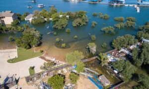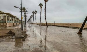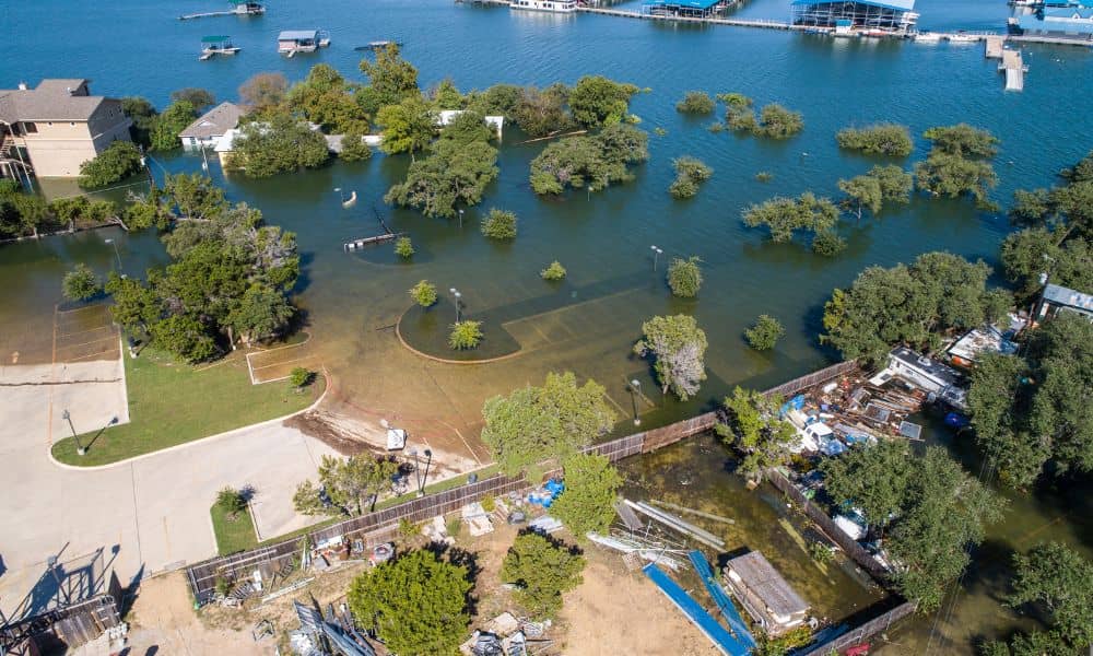
When heavy rain hit Central Florida last week, few expected a calm neighborhood near Cocoa—just east of Orlando—to end up underwater. More than a hundred homes flooded overnight after a retention pond overflowed. Families scrambled to move their cars and belongings as muddy water crept through driveways and doorsteps. Officials say the pond’s drainage system failed. Neighbors argue the problem started long before the storm. They claim no one really knew who was supposed to maintain the pond. Some thought it was the county’s job, others assumed the homeowners’ association handled it. The truth? The problem likely began with unclear property boundaries—something a boundary survey could have solved years ago.
Why This Flooding Story Matters for Homeowners
Central Florida is full of planned communities built around small ponds, swales, and ditches. These features look like peaceful backyard views, but they’re actually part of each neighborhood’s stormwater system. When rain falls, the water drains into these ponds instead of rushing into streets and homes.
That system works only if everyone knows where their property ends and who’s responsible for what. If a pond’s edge or a drainage ditch sits partly on private land and partly in an easement, confusion follows. One homeowner mows up to the waterline, another puts in a fence, and the HOA assumes the city will take care of maintenance. No one checks where the legal boundary really lies—until it’s too late.
What a Boundary Survey Actually Does
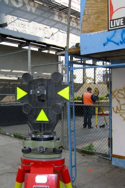
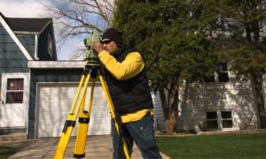
A boundary survey is a professional map drawn by a licensed land surveyor. It shows exactly where your property begins and ends. The surveyor finds or sets metal pins at the corners, measures distances, and marks easements—areas reserved for things like drainage, utilities, or access roads.
For homeowners near ponds or ditches, this survey is more than paperwork. It’s the proof of who owns what and who must maintain which parts. It reveals if a fence or retaining wall is too close to a drainage line or if a section of your backyard is part of a stormwater easement you shouldn’t touch.
Without it, everyone makes guesses. Over the years, those guesses can block flow paths, hide outlet pipes, or pile soil where water should pass through. When a big storm hits, the water looks for the lowest point—and that’s usually someone’s living room.
What Went Wrong in the Retention-Pond Disaster
In the Cocoa case, the retention pond overflowed because water couldn’t drain fast enough. Early reports from WKMG and WFTV suggest clogged pipes and poor maintenance were key factors. But that’s only the surface of the issue.
If the pond’s boundaries weren’t clearly marked, maintenance crews might not have known who had permission to clean or repair the outfall. Some areas could have fallen between jurisdictions—half under FDOT oversight, half under private ownership. Without precise survey data, even public agencies hesitate to touch land that might be privately owned.
That’s how years of small misunderstandings pile up into one major disaster. A clear, updated boundary survey could have shown exactly where the maintenance line stopped and where private property began. With that clarity, responsibility would have been assigned, inspections scheduled, and flooding possibly prevented.
The Link Between Boundaries and Drainage
Most homeowners never think about how stormwater moves through their subdivision. Yet every curb inlet, pond, and swale follows an engineered path that depends on grades and property lines. When those lines blur, drainage breaks down.
For example, say your backyard slopes toward a shared pond. Over time, you plant trees or build a small shed near the water’s edge. You don’t realize part of that area is a drainage easement. The roots or structure start blocking runoff. The next storm arrives, the pond rises faster than designed, and suddenly the overflow reaches nearby homes.
A boundary survey would have flagged that easement on your site plan. You’d know where not to build, dig, or plant. In many cases, small fixes like moving a fence or trimming vegetation can restore drainage flow and prevent bigger problems.
Why This Hits Close to Home for Orlando
Orlando’s geography makes drainage tricky. The land is flat, the soil holds water, and heavy rain can turn any low spot into a pond overnight. The city recently updated its Floodplain Management Plan Study, encouraging residents to document flood-prone areas and maintain open drainage corridors. That initiative depends heavily on accurate property surveys.
If you live in a subdivision built 10–20 years ago, chances are your original survey doesn’t reflect today’s ground conditions. Trees grow, fences shift, and construction nearby can alter drainage slopes. Having a surveyor re-establish your property lines and identify easements helps both you and your community stay compliant with flood-control rules.
It also pays off with insurance. Homes that maintain proper drainage and can show survey documentation often qualify for lower flood premiums under FEMA’s Community Rating System.
The Real Cost of Guessing
Fixing flood damage after an event like Cocoa’s can run into tens of thousands of dollars per home. Water-soaked drywall, ruined flooring, and mold cleanup add up fast. Compare that to the cost of a boundary survey—often a few hundred dollars for a typical lot—and it’s clear which is the smarter investment.
Beyond repair costs, there’s the emotional toll. Families lose irreplaceable belongings and spend weeks dealing with insurance adjusters. Many discover too late that the flooding was worsened by clogged easements or unapproved landscaping that no one realized crossed a property line.
Knowing your exact boundaries isn’t just about ownership pride. It’s about prevention.
Taking Action Before the Next Storm
You don’t need to live on the water to benefit from a boundary survey. If your property sits lower than the street or backs up to open space, your lot probably connects to the neighborhood’s drainage system.
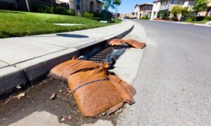
Before the next rainy season, walk your property and look for clues: a manhole, a swale, a small concrete box near your fence. These hint at underground pipes or easements. If you’re unsure, hire a local surveyor to confirm your property lines and mark any drainage zones.
Once you know the limits, you can maintain them properly—clear debris, keep vegetation trimmed, and avoid blocking flow with new structures. When everyone in a subdivision does this, the whole system works as designed.
Final Thoughts
The Cocoa flooding was more than a freak event; it was a warning. Central Florida’s stormwater systems depend on cooperation between homeowners, HOAs, and public agencies—and that cooperation begins with understanding where your property truly ends.
In many cases, that means taking a closer look at your lot map or having a surveyor verify your property limits. It’s a simple step that can clear up years of confusion about who’s responsible for maintaining drainage areas or pond edges. With that clarity, neighborhoods can stay prepared instead of pointing fingers after the next heavy rain.
Before the next tropical storm tests ponds and ditches, make sure you know your boundaries. A quick survey today could be the difference between a wet yard and a flooded home tomorrow.
