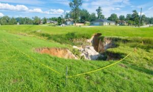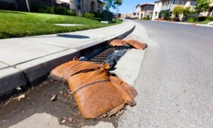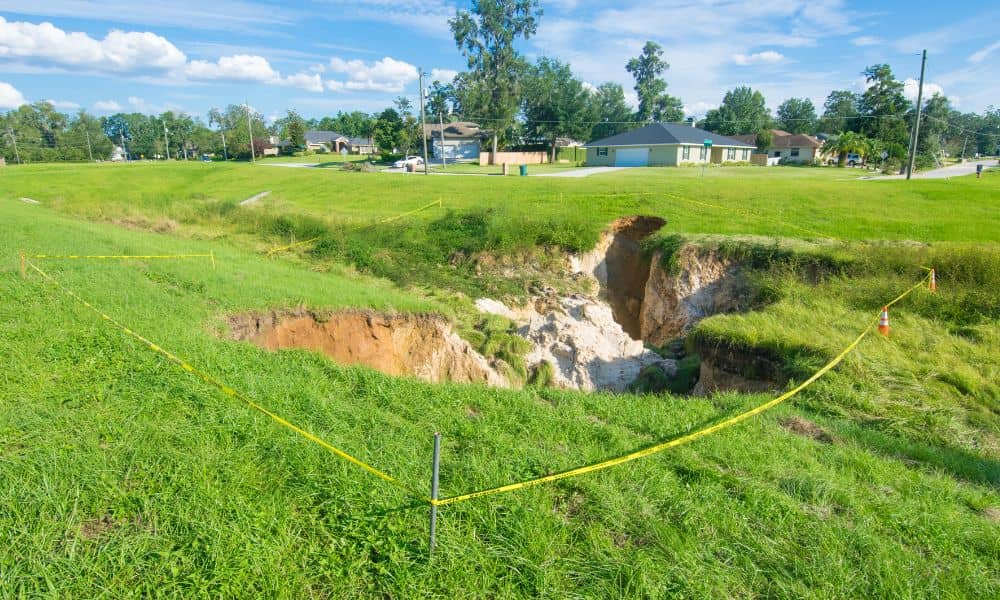
When the sinkhole footage from Lakeland spread online, many homebuyers started asking deeper questions about land safety. Some wondered if their future homes could face the same terrifying surprise. Because of this, more people are now looking into getting a flood elevation survey before closing on a property. They want more than a basic inspection. They want peace of mind.
Seeing a house fall into the ground is frightening. It makes you realize how fragile a foundation can be when the soil below shifts. It also forces buyers to think about risks they cannot see. And since Tampa is not far from Lakeland, the concern feels close.
When the Ground Fails Without Warning
What makes a sinkhole so scary is how fast it happens. One moment, everything looks fine. The street is calm. The yard is smooth. The house seems solid. Then, in just seconds, the ground caves in and everything changes.
People are shaken because the danger is invisible until the moment it strikes.
That kind of shock changes how homeowners think. It creates a new fear: “What if this happens to me?”
And that fear pushes buyers to look deeper before signing any contract.
Why Buyers Are Thinking Differently Now
Before the Lakeland sinkhole, most people focused on the house itself.
Does the roof leak? Do the windows close properly? Does the AC work?
Now, however, buyers are shifting attention to the land.
They want to know how the soil reacts during heavy rain. They want to understand how storm water drains. They want to be sure the home sits at a safe height. And suddenly, the ground feels just as important as the house.
That is why buyers are now asking sharper questions, and why timing matters.
Where the Confusion Begins
Many homebuyers believe certain reports will protect them.
They assume a home inspection covers everything. They assume a boundary survey proves the land is stable. They assume a clean appraisal means no hidden problems.
However, these do not examine the land itself in a scientific way. They do not show how water moves across the property. And they do not measure how high the home sits compared to surrounding land.
That lack of knowledge can be costly.
How Elevation Connects to Safety
Elevation affects more than flooding.
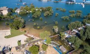
When rain falls hard and soil gets soaked, water can weaken earth beneath the surface. Over time, the ground shifts. Soil washes away. The layers beneath become unstable.
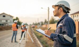
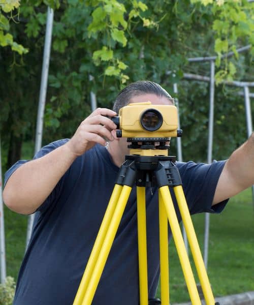
A flood elevation survey shows the vertical position of the home relative to low-lying areas. And when you understand that position, you can predict how water will behave, how soil might respond, and where weakness could form.
As a buyer, you want to know all of that before you close.
Why This Is Becoming a Smart First Step
Tampa sits in an area shaped by water, limestone, and shifting soils. Rainstorms are normal. Sudden downpours are common. And the terrain changes faster than most people realize. Because of this, homebuyers are starting to think more cautiously. Not out of fear, but out of experience. Many want a clearer picture of the land before closing, which is why they’re turning to an elevation review for homebuyers as part of the process. It helps them feel confident about the land beneath the house, not just the house itself. When you do that, you avoid surprises, make better choices, and protect your peace of mind. That’s what smart due diligence looks like.
What a Flood Elevation Survey Tells You Emotionally
It tells you:
Whether the house feels safe. Whether the land behaves predictably. Whether the risk is acceptable.
That emotional clarity can mean more than any fine print on a contract.
Because numbers matter, but security matters more.
And when elevation makes sense, everything else becomes easier to process.
Signs That Should Make You Pause Before Closing
Some properties make buyers nervous right away.
For example:
Homes sitting much lower than their neighbors. Subdivisions shaped like bowls. Yards that stay wet long after a storm. Streets that drain slowly. Neighborhood slopes that funnel water.
These are not doom signals. They are clues.
Clues that you should gather more information before you commit.
The Moment You Should Request One
The best time to ask for a flood elevation survey is before you close.
Once you own the house, you own the risk too.
And when you get the survey early, you gain time.
Time to think clearly. Time to ask questions. Time to step back if something feels wrong.
Even if everything looks normal, the survey gives certainty.
And that certainty is priceless when you’re spending hundreds of thousands of dollars.
Why Homebuyers Can’t Ignore This Anymore
Technology has changed how risks spread emotionally.
When shocking videos go viral, people feel connected to disasters instantly.
It sparks fear. It sparks curiosity. It sparks action.
And this shift is transforming how buyers approach land safety.
Instead of reacting after disaster hits, they want to be proactive.
That mindset is powerful.
Thinking Ahead Helps You Make Better Choices
Buying a home is an exciting step.
But excitement should not replace caution.
When buyers understand how water, elevation, and soil work together, they protect their future. When they ask extra questions, they protect their savings. And when they plan ahead, they avoid painful mistakes.
A flood elevation survey helps you look beyond the surface. It gives clarity. It gives confidence. It gives control. That is exactly what homebuyers deserve.
Final Thoughts
The Lakeland sinkhole scare wasn’t just a shocking moment. It was a reminder. The ground can change without warning. And when it does, everything sitting on top pays the price.
That is why smart homebuyers are now taking a closer look at land elevation before closing.
They want more than a house. They want stability. And a flood elevation survey offers something simple but powerful: Knowledge before commitment. For a buyer, that might be the smartest move of all.
