Why a Boundary Survey Should Be Your First Step in Any Renovation
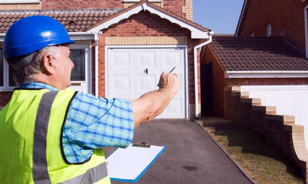
Renovations are exciting. Whether you’re adding a new room to your Fort Myers home, building a backyard deck for entertaining, or upgrading your driveway to handle the Florida rains, it feels good to improve your space. But before the first hammer swings, you need a boundary survey. This simple step ensures you know exactly where […]
Buying Land? Why a Due Diligence Survey Is Non-Negotiable
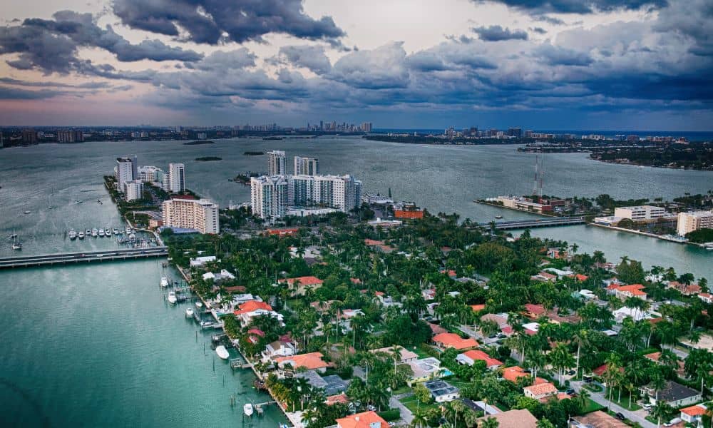
Miami’s real estate market moves fast, and a due diligence survey should be your first step before buying land. From prime waterfront lots to small city parcels, opportunities are everywhere. However, Miami has unique environmental challenges, strict zoning rules, and high demand for development. As a result, what looks perfect at first might hide serious […]
Your Land Isn’t Flat—Here’s Why a Topo Survey Matters
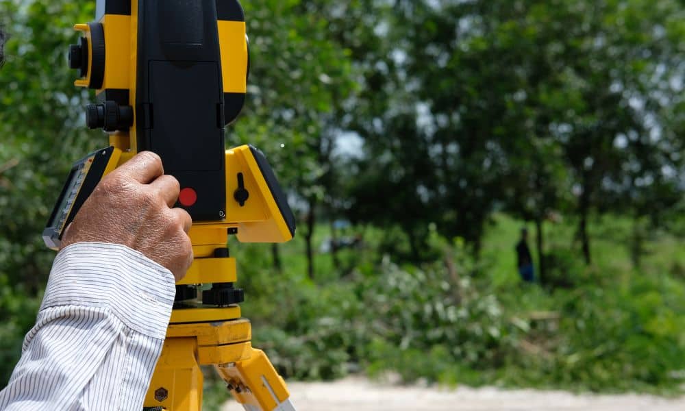
At first glance, your property in Panama City, may look perfectly level. However, looks can be deceiving. Even small changes in elevation—sometimes just a few inches—can affect how water drains, how stable a building will be, and whether your project meets local building codes. Because of this, starting with a topo survey can save you […]