LiDAR Mapping: How Coastal Mapping Is Changing Standards
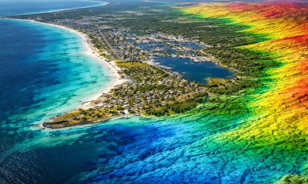
Florida is paying more attention to its coastline. Flooding, growth, and older roads and utilities are pushing the state to improve how it maps land near the shore. Because of this, state agencies are updating coastal elevation data using better tools. One clear result is the growing use of lidar mapping Pensacola FL for local […]